Monsoon Systems across India
The Monsoon withdrawal line is passing through Kupwara, Kokernag, Ludhiana, Churu, Pathankot, Phalaudi and Jaisalmer.
The cyclonic circulation overChhattisgarh and adjoiningOdishais now marked over Chhattisgarh and nearby regions, extending up to 3.1 km.
Another cyclonic circulation over Bay of Bengal has become less marked.
A low level cyclonic circulation lies overTripura.
A trough persist from Jharkhand to North Andhra Pradesh coast.
This weather system is expected to move westwards towardsMadhya Pradeshand strengthen further.
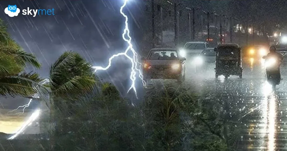
Monsoon activity in last 24 hours
Active Monsoon conditions was observed over most parts ofOdisha, Chhattisgarh, Madhya Pradesh, NorthAndhra Pradeshcoast, North Tamil Nadu,Bihar,Jharkhand, Andaman and Nicobar Islands and NMMT (Nagaland, Manipur, Mizoram and Tripura)
Southwest Monsoon remained subdued over Arunachal Pradesh, Assam,West Bengal,Meghalaya and southern Peninsula including Kerala, Karnataka,Maharashtraand West Madhya Pradesh.
Northern Hills and Northwest Plains includingDelhigo on to witness dry weather conditions.
In a span of 24 hours from 8:30 am on Wednesday, Chennai received 82 mm of rainfall, Paradip 62 mm, Silchar 74 mm, Port Blair 71 mm, Rewa 70 mm and Contai witnessed 75 mm of rainfall.
Monsoon Forecast for the next 24 hours
Moderate rains are expected over few parts of Madhya Pradesh, Jharkhand and Chhattisgarh.
Most parts of Northeast India, NorthTelangana,Coastal Andhra Pradesh, Bihar, West Bengal, EastUttar Pradeshand Vidarbha will witness scattered light to isolated moderate showers.
Meantime, dry weather conditions are likely to prevail over the northern hills, northwest plains andGujarat.
The rest parts of the country may witness some light rainy spells at a few places.
Please Note: Any information taken from here should be attributed to skymetweather.com