Heavy Thunderstorm, Lightening, Hailstorm Likely Over West Bengal, Odisha and Jharkhand
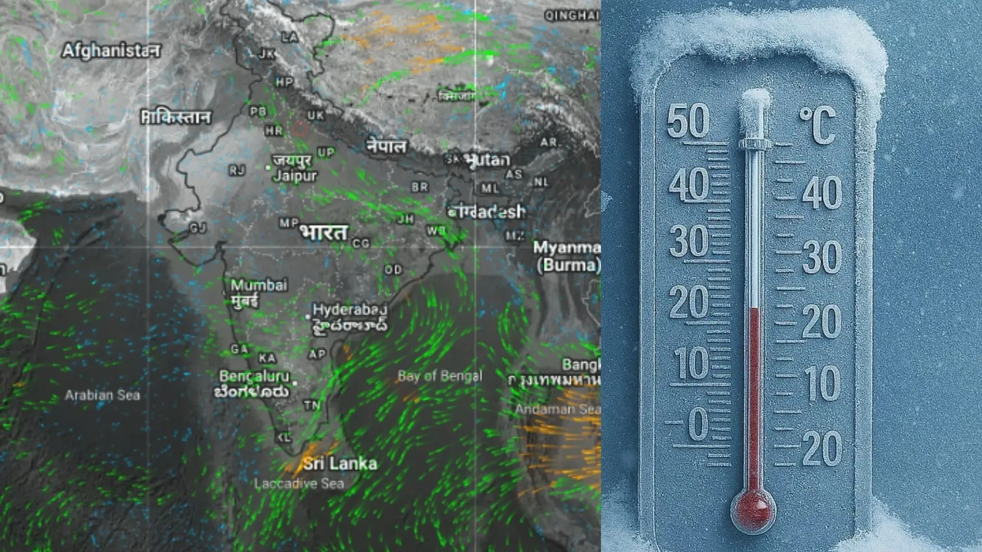
Pre-Monsoon activity has been on the rise over the eastern and northeastern parts of the country. More of this activity is likely during this week. Kal-Baisakhi season is already going on for the eastern states of West Bengal, Bihar, Jharkhand and Odisha. Violent thunderstorms, severe lightning, gale-speed winds, and heavy thundershowers accompany the Kal-Baisakhi, often causing hazardous weather activity.
Moist and warm currents of southerly winds from the Bay of Bengal are lashing the coastline of West Bengal and Odisha. The stream is turning over land and spreading along the Indo-Gangetic plains across Gangetic West Bengal, Bihar, Jharkhand and Uttar Pradesh. Another typical dry pre-monsoon circulation is marked over East Madhya Pradesh with a trough extending across Vidarbha and further southward. Under the influence of these conditions, pre-monsoon activity is likely to pick up and lash many parts of the country during this week, barring a few pockets of Gujarat and South Rajasthan.
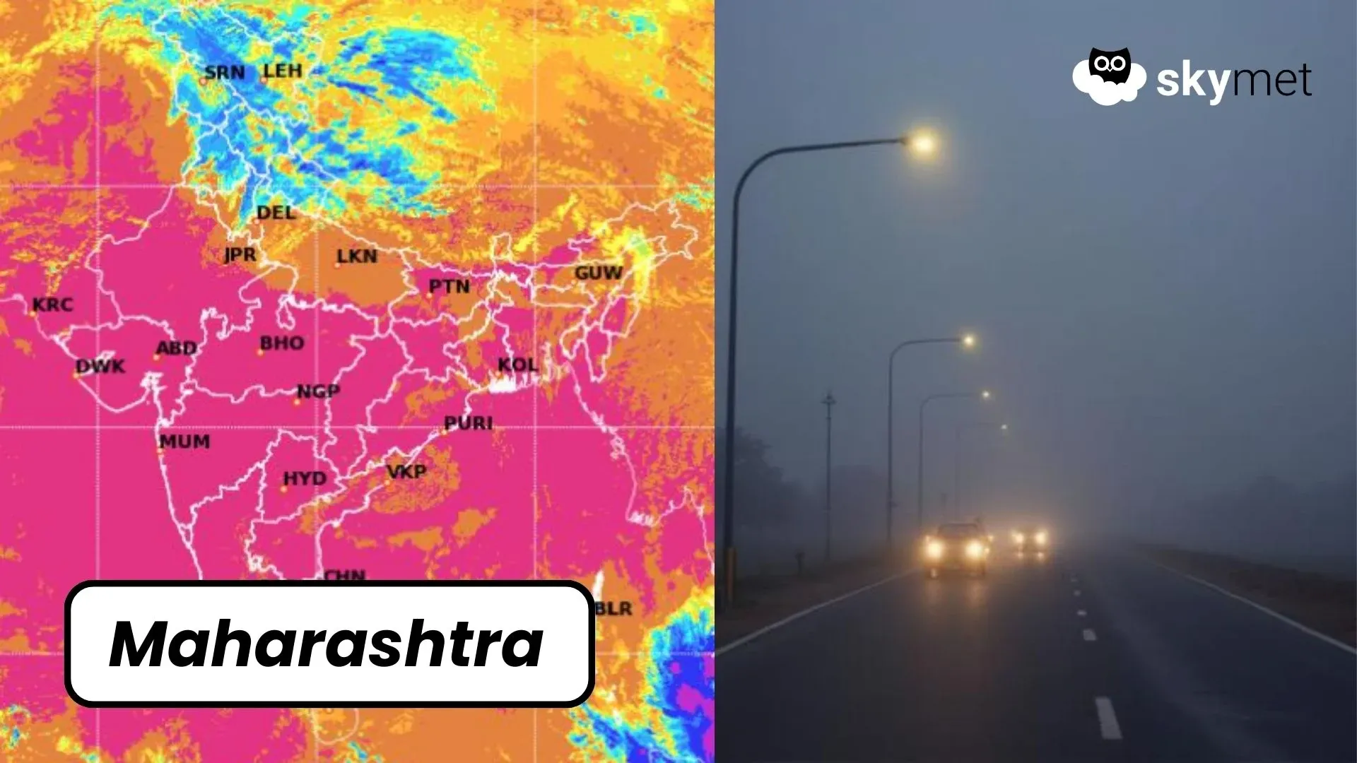
Eastern parts are likely to come under intense weather activity between 29th April and 03rd May 2025. The activity will begin on 29th April in North Odisha and the southern parts of Gangetic West Bengal. Some of the locations, like Kolkata, Midnapore, Panagarh, Contai, Diamond Harbour, Digha, Jhargram, Baripada, Balasore, Puri, Jajpur, Paradip, Cuttack and Bhubaneshwar, will be at risk of heavy thunderstorm activity.
Over the next two days, on 30th April and 1st May, the expanse of weather activity will cover more parts of Odisha and Jharkhand. On 02nd and 03rd May, the peripherals of fierce weather activity will reach parts of North Coastal Andhra Pradesh and South Chhattisgarh. The tri-junction of Odisha, Chhattisgarh and North Andhra Pradesh will come in for severe weather activity with heavy thunderstorms, lightning, hailstorms and very strong damaging winds on 02nd and 03rd May 2025.
Pre-Monsoon thunderstorms over the eastern parts of the country are quite hazardous around this time of the season. These systems are known for developing squall lines, which run for hundreds of kilometers with tall thunderclouds. These thunderstorm cells grow very rapidly and move with tremendous speed to travel over 500 km distance, with the freak phenomenon of regeneration on a few occasions. Severe lightning and hailstorms could be damaging and therefore lives and assets need to be secured. Exercise caution.


