Rainy Week Ahead For Delhi: Monsoon Advisory Soon

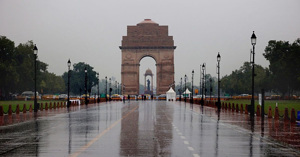
Image Courtesy: Indian Express
On the weather front, the capital city generally remained quiet yesterday. The highlight of the day was that the maximum temperatures stayed well below normal by about 5°–6°C. The outskirts of Delhi had isolated light sprinkles. The night was mostly warm but bearable. Cloudy skies and a light breeze in the early morning extended a pleasant feel. Similar conditions are likely for the next few days, with rain showing up on frequent occasions.
A cyclonic circulation is marked over Northeast Rajasthan, very close to the Delhi region. An east-west trough is extending from this system, joining the circulation over Jharkhand and Gangetic West Bengal, in association with the pre-existing low-pressure area over those parts. Today, this trough is placed south of Delhi at a fair distance and therefore may not trigger any troubling weather activity. Yet, some cloud build-up later in the day may leave a patchy light shower in some parts. The main and noticeable weather activity is likely to commence tomorrow and go on till mid-week next.
Over the next 48 hours, the trough line will travel from south to north, keeping proximity to Delhi. In the meantime, the low-pressure area over Jharkhand and its associated cyclonic circulation will move westward across the central parts of the country. The combined influence of these two systems will keep the monsoon active over eastern, central, and western parts of the country.
Delhi will receive moderate showers, starting tomorrow and becoming a regular feature till past mid-week next. The intensity and spread will increase between 22nd and 25th June 2025. Persistent clouds and frequent showers will arrest any rise in temperatures. The maximum and minimum temperatures will stay in the mid-30s and mid-20s respectively. Monsoon arrival is also likely during this period and, in all probability, will make an early onset.
