Southwest Monsoon remained vigorous over Sub-Himalayan West Bengal, Sikkim, Assam, Meghalaya, Coastal Karnataka and South Konkan and Goa. Heavy showers have triggered fresh wave of floods in Assam, Uttar Pradesh and Bihar. Active Monsoon conditions were seen over remaining parts of northeastern states, Gangetic West Bengal, rest of Bihar, North Uttar Pradesh, all along the East Coast, Gujarat, Uttarakhand, Himachal Pradesh and Jammu and Kashmir.
Major rain contribution came from Jalpaiguri that recorded 295 mm of rainfall, followed by Cherrapunji at 280 mm and Cooch Behar 233 mm.
As on August 11, the cumulative countrywide rainfall continues to observe a rain deficit of 3%. As far as the regional distribution is concerned, Northwest India is rain surplus by 9%, whereas, Central, South, East and Northeast India are rain deficient by 4%, 17% and 2%, respectively.
[yuzo_related]
At present, the axis of monsoon trough continues to run along the foothills of Himalayas.
During the next 24 hours, Monsoon will remain vigorous over Sub-Himalayan West Bengal, Sikkim, Assam and North Bihar. The flood situation in Assam is likely to worsen. Meanwhile, most parts of Central India will observe normal Monsoon.
Live status of Lightning and thunder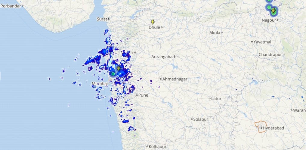
Active Monsoon conditions will give moderate to heavy rains over remaining parts of northeastern states, Gangetic West Bengal, Northeast Uttar Pradesh, Jammu and Kashmir, Himachal Pradesh, Uttarakhand, along the West Coast and East Coast. Meanwhile, most parts of Central India will observe normal Monsoon.
Please Note: Any information picked from here should be attributed to skymetweather.com