
In the last 24 hours, Vigorous Monsoon was seen over the Western Himalayas.
Monsoon remained active over South Jharkhand, Sub-Himalayan West Bengal and northeastern states.
Whereas normal Monsoon conditions were seen over parts of Haryana, West Uttar Pradesh, East Bihar, Odisha, Andhra Pradesh Coast, Tamil Nadu, North Interior Karnataka, South Madhya Maharashtra and Madhya Pradesh.
Major rain contribution came from Nahan that recorded 154 mm of rainfall, followed by Moradabad at 118 mm and Mukteshwar 110 mm.
As on September 23, the cumulative countrywide rainfall is rain deficient by 4%. Talking about the regional distribution, Northwest India, Central and South India are rain deficient regions by 9%, 4% and 2%, respectively.
[yuzo_related]
At present the axis of Monsoon trough is seen passing through Amritsar, Muzaffarpur, Daltonganj, Balasore and further southeastwards to Andaman Sea.
During the next 24 hours, Monsoon will be active, giving moderate to heavy spells over Andaman and Nicobar Islands.
Live status of Lightning and thunder
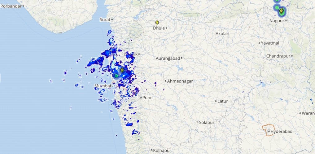
Meanwhile, Monsoon will be active to normal over Sub-Himalayan West Bengal, northeastern states, South Jharkhand, South Chhattisgarh, Telangana, Andhra Pradesh, Tamil Nadu, Kerala, Karnataka, Konkan and Goa and Uttarakhand.
Please Note: Any information picked from here should be attributed to skymetweather.com
