
Beginning with East and Northeast India, where a Cyclonic Circulation lies over Assam. Another Cyclonic Circulation lies over South Jharkhand. A Trough is extending between these systems. Rains and thundershowers are likely to continue over Arunachal Pradesh, East Assam Meghalaya, Nagaland, Mizoram, Tripura and even Manipur. On the other hand, rains will now decrease over East India. Many parts of West Bengal, Jharkhand, Odisha and eastern parts of Bihar will continue with light rains.
Coming on to North India, where the Western Disturbance is moving away. A Cyclonic Circulation lies over North Uttar Pradesh. The rain activities are likely to reduce significantly over hills and plains both. Scattered rains and snow are likely over Uttarakhand and Himachal Pradesh and at a few places over Jammu and Kashmir. Isolated rains are forecast for foothills of Punjab and Haryana as well as a few parts of West Uttar Pradesh.
Click the image below to see the live lightning and thunderstorm across India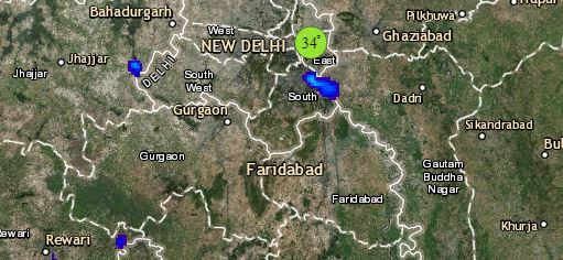
Talking about Central India where the persisting Confluence Zone has now become inactive. Rains will continue but with a decreased intensity over Chhattisgarh, Madhya Pradesh, Vidarbha and Marathwada. Mumbai and coastal parts of Maharashtra will remain quite hot with temperatures reaching as high as 35 to 37 degrees in the afternoon.
Lastly in South India, where a trough is extending from Karnataka towards Kerala coast. Parts of Kerala, Tamil Nadu and Karnataka coast may receive isolated activity. Mainly dry and warm weather will prevail over South Peninsula.
Any information taken from here should be credited to skymetweather.com
