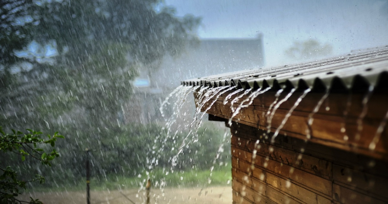
Active monsoon conditions are expected to rekindle hopes of the agrarian states of Punjab and Haryana. Scattered moderate showers are likely over many parts of these 2 states between 01st-06th Aug. Northern half and the foothills will be the chief beneficiaries. The districts bordering Rajasthan of both the states may receive light showers only. The foothills of these states along the bordering regions of Jammu & Kashmir and Himachal Pradesh are likely to witness heavy rains at some places.
Monsoon trough coupled with western disturbance, if any, remain the trigger for the monsoon bursts over the northern states. Presently, both the weather systems are seen complimenting each other and enhancing the seasonal rains. The western end of the monsoon trough is running north of its normal position passing across these 2 states, close to the foothills. It is expected to stay with little oscillation over this area for the next 5 days. Significant shift is expected only on 07thAug and later.
A western disturbance, more prominently seen as a cyclonic circulation is marked over North Pakistan. This feature will help drawing the monsoon trough closer to the foothills. Also, the southwesterly flow from the Arabian Sea is getting strengthened across the state of Rajasthan, marking appreciable convergence. Prolonged stay of trough to the north will also develop few small scale vortices, to enhance the rainfall activity. Pathankot, Hoshiarpur, Jalandhar, Ropar, Chandigarh, Panchkula, Mohali, Ambala and Yamuna Nagar are more vulnerable for heavy showers on 2 days during this period. Lightening strikes and thunderstorms can not be ruled out, more so, over the northern half of the states.
Punjab and Haryana were largely deficit before the arrival of monsoon. That has now become history and both the states have adequate seasonal surplus in excess of 20% rainfall. The wet spell for the next few days will sustain the margin, more for the state of Punjab. The monsoon cyclonic circulation or the low pressure area developing over the Bay of Bengal and later moving along the central parts of the country will drag the trough southward. While, the trough will increase the weather activity over Madhya Pradesh and Rajasthan, the northern states of Punjab and Haryana will stay at a safe distance to have a ‘break’ from the monsoon spray. The activity will resume around mid week next.


