
The weather activities have been silent in the hills of North India for the past two to three days. The last active Western Disturbance had given fairly widespread rain and snow on February 28 and 29. Since then, the rainfall activities have been on the lower side with only light showers drenching the hilly states.
The weather models at Skymet, however, are indicating a change in the weather scenario and signaling some significant weather activities. According to meteorologists, an active Western Disturbance (WD) is expected to approach the Western Himalayas by the evening of March 4.
Due to this system, scattered rain may commence by the night of March 4 in Jammu and Kashmir, Ladakh and Himachal Pradesh. By March 5, the intensity is expected to increase and remain at peak on March 6.
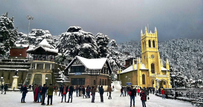
There are chances of moderate snowfall with isolated heavy spells in Jammu and Kashmir, Ladakh, Himachal Pradesh and Uttarakhand during this span. Landslides, mudslides and road blockage due to fresh snow accumulation cannot be ruled out. Heavy snow may even lead to avalanches in the prone areas, thus extra precaution must be taken.
The weather system is also likely to impact the Indo-Gangetic plains in terms of moderate to heavy rain between March 5 and 7.
Thereafter, as the WD turns feeble, rain and snow may start subsiding from the northern hills. However, the remnants of the system might continue to give light spells of rain on March 8 as well.
Image Credits – YouTube
Any information taken from here should be credited to Skymet Weather
