The alluring city of Maharashtra,Mumbaihas recorded heavy spells of rain in the last 24 hours. In fact, the city had witnessed three digit rains to the tune of 103 mm on Tuesday. These spells have been recorded over Mumbai after an elongated rain free period.
[yuzo_related]
In a span of 24 hours from 08:30 am on Wednesday, the Santa Cruz observatory in Mumbai recorded 64 mm of rain, whereas, the Colaba observatory witnessed moderate rains of 37 mm.
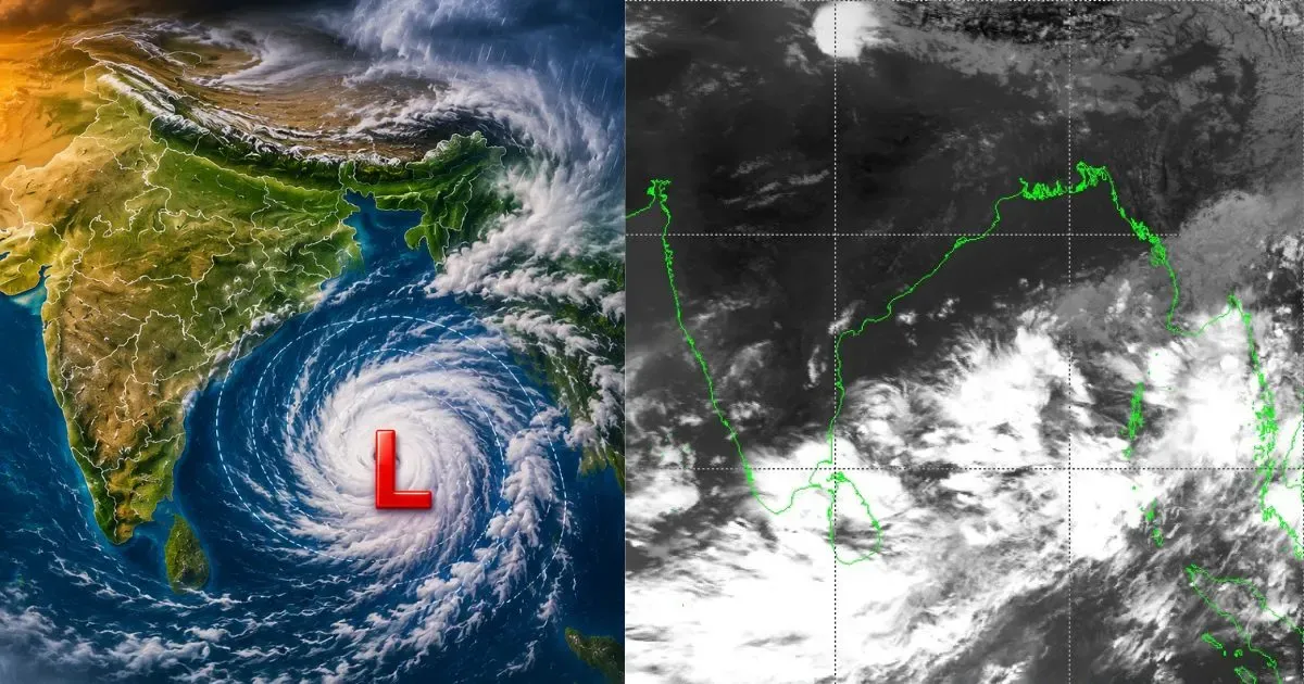
All thanks to the two persistent cyclonic circulations, one over Coastal Karnataka and another over Southeast Rajasthan and adjoining Madhya Pradesh. Along with this, a trough is also extending from the latter circulation up to Northeast Arabian Sea across Gujarat. So, convective clouds had developed over Mumbai and adjoining region, which resulted in heavy Monsoon rains.
As per Skymet Weather, intermittent light rains are likely to continue for another 3 to 4 hours today. Weathermen expect the intensity of rains to pick up pace again over Mumbai around September 17.
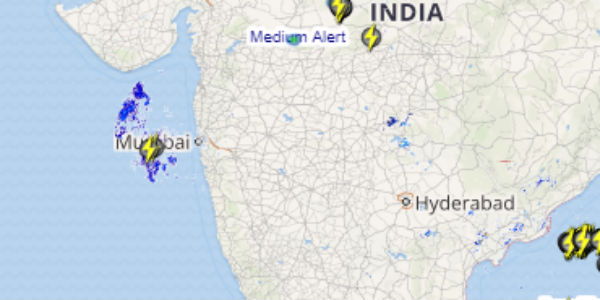
Click the image above to see the live lightning and thunderstorm across India
During this time, heavy to very heavy spells of rain are likely over the maximum city till September 19 that could even result in water-logging and traffic disturbance.
Till then, the weather is likely to remain humid during the day but the discomfort will not be there, due to cloudy sky and drop in temperatures. Maximum temperatures are expected to range between 30-31 degrees, while morning and night will be pleasant.
As on September 15, Mumbai has received normal rains of minus 4 percent. Till date, it has received 131.4 mm of rainfall as against its monthly mean of 312.3 mm.
IMAGE CREDIT: palsmaniaamumbai
Any information taken from here should be credited to skymetweather.com