
After Jammu and Kashmir recorded the first snow of the season precisely a week before, snow is knocking doors in the northern hills once again. Another active Western Disturbance is all set to affect North Pakistan and adjoining region. Its induced Cyclonic Circulation is also hovering over the Plains.
This new Western Disturbance is a slow-moving system and will induce rain and snowfall activity over the region for at least the next three days beginning today. The activity will remain more concentrated over Jammu and Kashmir, followed by Himachal Pradesh and then over Uttarakhand.
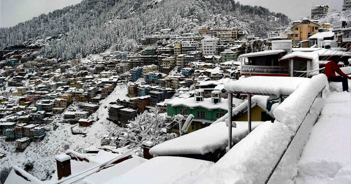
Places like Udhampur, Jammu, Samba, Kathua, Manali, Kullu, Dharamshala, Nahan, Una as well as mid and higher reaches of Uttarakhand are likely to be affected.
The intensity of this activity will be mostly moderate. Tourist locations might see closure of highways. Aviation operations in these regions are also likely to be affected.
An overcast sky is already prevailing over the region which is going to dip the day temperatures over the hills considerably. Minimum temperatures will however see a rise.
The weather will take a reducing note a day after tomorrow, but final clearance will only come November 17 onward.
Just like last year this year also Srinagar saw an early first snowfall. On the contrary, it usually snows over hills usually in the second half of November.
Image Credits – Down to Earth
Any information taken from here should be credited to Skymet Weather
