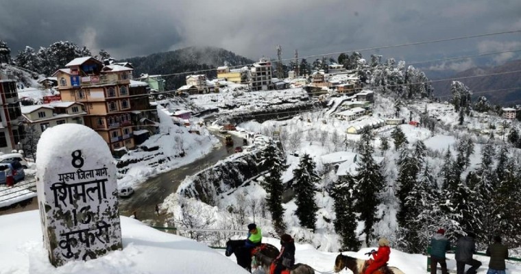
Intensity and frequency of Western disturbances remained very less in the month of November. Weather of Western Himalayas as well as northern Plains remained dry. Month of December witnessed couple of good western disturbances which have given moderate to heavy snowfall over hills and scattered rain over Northern plains.
Frequency and intensity of western disturbances increased from January 1st. Until first 10 days of January there was heavy snowfall over Western Himalayas and fairly widespread rain and thunder shower activity over Northwest, central and east India.
After a gap of almost one week, series of Western disturbances are about to approach of Western Himalayas. First Western disturbance will be on January 16. Second western disturbance will approach on January 18 and third one will be around January 21st.
On and off rain and flow will commence over the hills from night of January 16 and may continue until January 22nd. Intensity will be more on January 17 and 18 and again on 21st and 22nd. Plains of Northwest India including Punjab, Haryana, North Rajasthan, Delhi and Uttar Pradesh will receive good rain and thunder shower activity on January 21st and 22nd.
The weather will start clearing up January 23rd onward and minimum temperature will drop once again. Winds are expected to remain moderate therefore possibility of dense to very dense fog seems to be less.


