
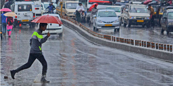
Western Disturbances, during winter, bring in moderate to heavy rain in the hills of North India. Their induced systems are the reason for winter rains across Northwest India.
The frequency of Western Disturbances approaching Indian Subcontinent is more during the winter months spanning from November to February. It is during this time that the Western Disturbances approaching the Western Himalayan region are in the lower latitudes, thus affecting North Indian hills.
Whereas, the weather systems that reach the Indian Subcontinent during the month of March usually travel in the higher latitudes and do not affect the hills of North India.
Western Disturbances result in cloudy skies, higher minimums, and rains. These conditions stay stable until infuriated by another Western Disturbance. As per Skymet Weather, at present also, back to back Western Disturbances are approaching the Western Himalayan region.
[yuzo_related]
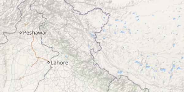
The current weather system is expected to give rounds of rain and snow over the hills of North India including Jammu and Kashmir, Himachal Pradesh and Uttarakhand tomorrow. However, this Western Disturbance will start moving away eastwards leading to dry weather over North India.
Henceforth, another Western Disturbance is likely to approach the hills of North India on February 3. However, this weather system would be slightly feeble in nature. Thus, the activity over the hills of Jammu and Kashmir and Himachal Pradesh on February 3 and 4 will be light in nature.
Click here to get the live lightning and thunderstorm status across Northern hills
Thereafter, the weather would become dry again. Due to these Western Disturbances, the night temperatures over the hills as well as over the northwestern plains would remain above normal.
After the passage of this Western Disturbance i.e. post-February 4, the minimum temperatures may fall again over Northwest India due to the commencement of icy cold northerly and northwesterly winds. Fog may also make a comeback around that time.
As these Western Disturbances will not as intense, chances of heavy snowfall are ruled out but light to moderate snow may cause some travel disruptions. Moreover, the chances of avalanches are also less as the accumulation of snowfall would not be very severe.
Image Credit: Wikipedia
Any information taken from here should be credited to skymetweather.com
