
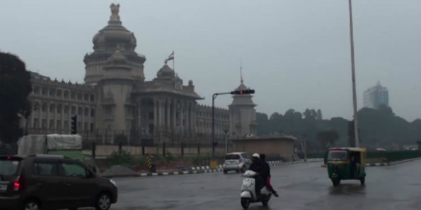
The month-long dry spell over Bengaluru seems to end as some rains are expected to show up over the city next week. The last rainy spells that Bengaluru recorded were on December 13 that too the intensity of rains remained very light.
However, now Skymet Weather states that a ridge of an anti-cyclonic circulation is likely to form over Telangana, adjoining South Coastal Odisha and North Coastal Andhra Pradesh at mid-tropospheric levels. This weather system is shifting eastwards over the Arakan Coast.
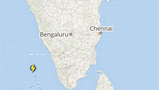
Moreover, an upper air trough is also likely to form along the western coastal belt of the country i.e. from Kerala to Konkan and Goa. In the wake of this weather system, warm and moist winds from the Bay of Bengal and the Indian Ocean would affect Bengaluru leading to an increase in clouding.
[yuzo_related]
The clouding would then be followed by some light to moderate rain and thundershowers over South Interior Karnataka including Bengaluru on February 6.
Click here to get the live lightning and thunderstorm status across Bengaluru
Subsequently, by February 7, the rain belt is expected to move towards the north, covering the northern interior districts of Karnataka as well. However, the intensity of rain over North Interior Karnataka would be light to very light.
Henceforth, by February 8, the weather would start clearing up though light rains would continue to affect Karnataka. The sky is likely to remain cloudy.
Image Credit: accuweather.com
Any information taken from here should be credited to skymetweather.com
