
Since the beginning of 2020, entire East India has been experiencing on and off rain and thundershower activities. The reason for these weather activities can be attributed to the approach of successive Western Disturbances as well as the formation of the confluence zones.
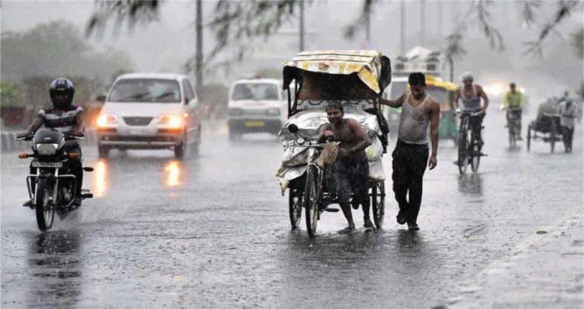
For the last 24 hours, many parts of West Bengal, Odisha, and Jharkhand have been observing rain and thunderstorm activities.
Talking about the current weather system, a fresh Western Disturbance is persisting over Jammu and Kashmir. Also, an induced cyclonic circulation is lying over the plains of North India. From this cyclonic circulation, a trough is also extending up to East Bihar. Humid winds from the Bay of Bengal are also feeding moisture towards East India.
In the wake of all these weather systems, rain and thundershowers are likely to cover almost all the eastern parts of the country today. The eastern parts of Uttar Pradesh, as well as Bihar, will start observing these rains by the late-night hours today.
From tomorrow onwards, there will be widespread rain and thundery activities in East Uttar Pradesh, Bihar, Jharkhand, West Bengal as well as in the northern parts of Odisha.
During the episode of this rainy spell, lightning strikes, and hailstorm activities in Bihar, Jharkhand and West Bengal are also very likely.
By March 8, the weather will turn dry due to the fading away of the weather system leading to a rise in the day temperatures.
Image Credits – News Track English
Any information taken from here should be credited to Skymet Weather
