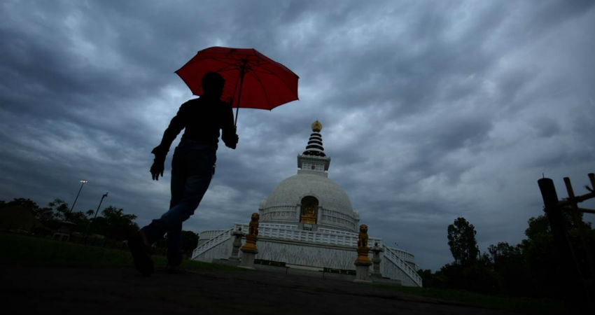
The Western Disturbance is that weather system that has an extratropical origin. The prevalence of this system is throughout the year and they largely impact the Indian region or the sub-continent in the post Monsoon and the winter season. Come post Monsoon these Western Disturbances play a bigger role and are the major systems for North India.
This Western Disturbance gives major activity over the hills of the North. This Monsoon season, the hills of North India didn’t perform well wherein Jammu and Kashmir was rain deficient by 21%, Himachal Pradesh by 10% and Uttarakhand by 18%.
All three hill stations remained below the normal values. During the Monsoon month, the Western Disturbance and the Monsoon current gives rain over the hilly states.
Now after the withdrawal of the Monsoon, which is likely very shortly, they will be taken care of purely by the Western Disturbances.
From October onward, these Western Disturbances start influencing the region on a bigger scale simply because their track starts lowering. The hilly states come under the influence of these Western Disturbances and start affecting Jammu and Kashmir initially followed by Himachal Pradesh and then Uttarakhand. It is the Western Disturbance which is responsible for giving the first snowfall. Anytime in the month of October, the snowfall activity can happen and this year it may happen in the first fortnight of October.
Presently, we see two Western Disturbances, one is over North Pakistan and adjoining Jammu and Kashmir region and close behind is the other system which is going to keep the activities mainly over Jammu and Kashmir along with Himachal Pradesh and less in Uttarakhand. The activities will be more over the higher reaches and lesser over the lower reaches. Light rainfall activity will be a sight over these hilly states for the next four days or so.
The Western Disturbance keeps moving which means it is always in transit. The general lifespan of a Western Disturbance is usually two days. The active Western Disturbance gives good rains while the inactive Western Disturbance does not necessarily result in rain. Such feeble disturbances generally cause clouding and possibly some rain for a day or two. Similarly, the current Western Disturbance will be followed by another Western Disturbance. Both these Western Disturbances will give isolated light to moderate rainfall covering a widespread region.
The Western Disturbance mostly moves across the mountainous terrain and it is difficult to track over the surface/ ground and it makes an appearance as an upper air system only.
Weather Alert for Jammu and Kashmir
Moderate spells of rain and thundershower with strong winds (40-50kmph) will occur at many places of Anantnag, Badgam, Bandipore, Baramula, Doda, Ganderbal, Jammu, Kargil, Kishtwar, Kulgam, Kupwara, Pulwama, Punch, Rajouri, Ramban, Reasi, Samba, Shupiyan, Srinagar and Udhampur during next 4-6 hours.
Image Credits – The Indian Express
Any information taken from here should be credited to Skymet Weather


