
An active Western disturbance has been giving good rain and thundershower activities over the Western Himalayas. Isolated hailstorm activities have also been reported. Induced cyclonic circulation is over central Pakistan and adjoining parts of Punjab and Haryana. Temperatures were already very high over Northwest India and slight increase in moisture has led to formation of thunder clouds.
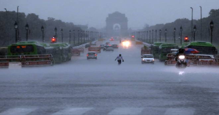
These are typical pre monsoon thunder clouds which usually develop in late afternoon and evening hours. Many parts of north and Northwest Rajasthan, Punjab, Haryana, West Uttar Pradesh and isolated pockets of Delhi and NCR have witnessed thunderstorm and dust storm activities during last 24 to 48 hours. In fact, parts of Delhi have witnessed first pre monsoon rain.
This pre-monsoon activities have dropped the temperatures over many parts of Rajasthan, Punjab and Haryana as well as parts of West Uttar Pradesh. Maximum temperatures of Delhi and NCR have also dropped to some extent. These pre monsoon activities are expected to continue on and off until April 17. Maximum temperatures will start increasing thereafter leading to development of heat wave conditions at many parts of Northwest India.
Intensity and frequency of pre monsoon activities will increase during May and first half of June. Until then, there will be occasional relief during afternoon thunderstorm dust storm and rain.
