
Starting from January 1, this season, Delhi has already surpassed its normal average rainfall and has received about 34.8 mm of rains against its normal of 17.7 mm, which is 97% excess and also double of its normal rains.
At present, the active Western Disturbance lies over North Pakistan and adjoining areas. Its induced cyclonic circulation is seen over Northwest Rajasthan and adjoining Haryana.
Moisture feed is available from Arabian Sea up to 18000 ft. Whereas in the lower levels, humid winds from Arabian sea as well as Bay of Bengal are increasing moisture over the northwestern plains including Delhi NCR region.
Therefore, we expect a fresh spell of rain to commence over Delhi-NCR region by late night of February 5 or early morning of February 6. As the cyclonic circulation will shift over Punjab and Haryana by tomorrow, the intensity of rains will also increase over Delhi-NCR.
One or two spells of intense rain may also occur over the city between February 6 and 7. Thundershower activities with hailstorm in isolated pockets are expected. These rains will also help in washing away the pollution over Delhi-NCR region.
Further, weather will start clearing up by February 8. During that time, temperatures are expected to drop and particularly the minimums will drop due to icy cold winds from Western Himalayas.
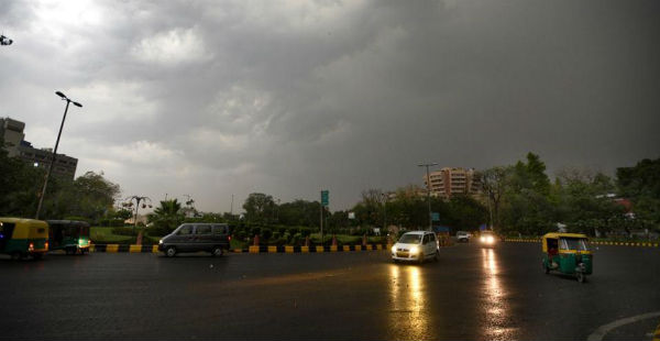
Image Credit: Delhi Times
Please Note: Any information picked from here must be attributed to skymetweather.com
