

The rapidly intensifying system in the Southwest Bay of Bengal and adjoining Indian Ocean and Sri Lanka has intensified into a depression. Currently, the weather system has crossed Sri Lanka coast about 70 km northeast of Hambantota around 09:30 am today.
The system then around 2:30 pm moved further westwards and was centered near latitude 6.5 N and Longitude 80.2 E close to west of Ratnapura in Sri Lanka and around 360 km east southeast of Kanyakumari.
The system is moving in favourable weather conditions as sea surface temperatures are warm. With abundant moisture, system may strengthen into a deep depression by tonight after moving west-northwestwards and remerging into Comorin region.
[yuzo_related]
There are chances for its further intensification into a cyclonic storm during the next 24 hours. JTWC (Joint Typhoon Warning Center) has already issued a cyclone alert.
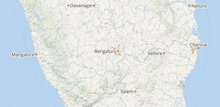
Check out the live lightning and thunderstorm across Tamil Nadu
However, if formed, the intensity as a cyclonic storm will be maintained for very short duration as the moment it enters into Arabian Sea, it will travel in comparatively cool waters and will start getting less marked as a depression.
Meanwhile, heavy to very heavy rains over southern tip of Tamil Nadu and Kerala during next 24 hours, with winds gusting up to 60 kmph. Coming to Chennai rains, light to moderate showers are expected over the city of Chennai as well during the same time frame.
Image Credit: india.com
Please Note: Any information picked from here must be attributed to skymetweather.com
