Since last 2 days we have seen dust waves and dip in the visibility across north western plains. This weather activity has happened due to strong westerly winds from the desert areas ofRajasthanand Pakistan. Due to dust waves minimum temperatures have seen a sudden decrease of 4°C to 5°C.
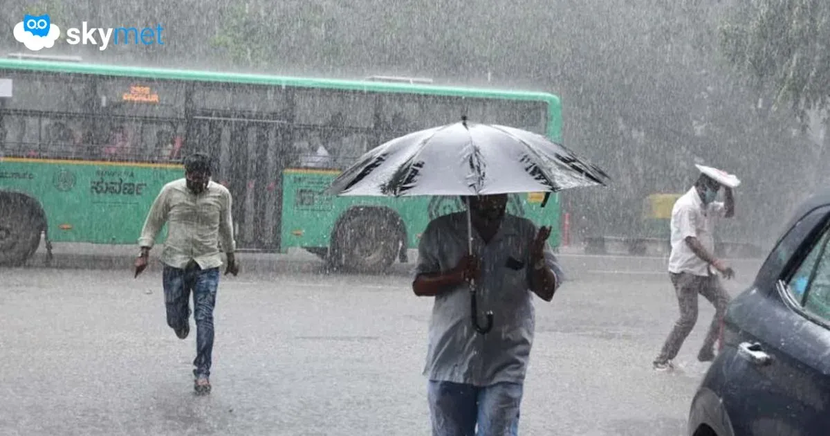
Last night Delhi and several parts of north India like Haryana, Punjab and westUttar Pradeshhave received thundershower activities with strong surface winds at isolated places. The reason for this weather activity was western disturbance which has occurred over Jammu & Kashmir and induced Cyclonic Circulation that has formed over north Rajasthan and adjoining Haryana and Punjab.
Also Read: Delhi to enjoy 3-day long rainy spell
This is a typical pattern since last many days over North India. Now we expect that this weather system will persist for 24 – 48 hours. Delhi, parts of Haryana, North Rajasthan and adjoining west Uttar Pradesh will continue to receive pre-Monsoon activities. Temperatures will go down marginally and humidity will increase.
Also Read: Dusty winds envelops Delhi, relief expected soon
Now minimum temperatures go down whenever such activities occurs during late evening or night time.
By May 31, this weather system will fade away and temperatures will again start rising with normal pattern of westerly winds resuming. And temperatures will start rising due to dry and fast westerly winds.
Image Source: livemint