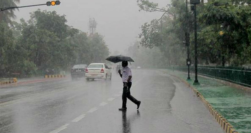
The Cyclonic Circulation over Odisha and adjoining areas now lies over Chhattisgarh and adjoining Madhya Pradesh. The Axis of Monsoon Trough is moving across Rajasthan, Madhya Pradesh, Chhattisgarh, towards Northwest Bay of Bengal across South Odisha. The system is likely to move further westwards towards the central parts of Madhya Pradesh.
In the last 24 hours, widespread rains have been recorded across Madhya Pradesh with heavy to very heavy rainfall over southern and south-west parts of Madhya Pradesh. The significant rains have been recorded at Khandwa 242 mm, Mandla 92 mm, Burhanpur 77 mm, Khargone 61 mm, Ujjain 58 mm, Seoni 51 mm, and Raisen 50 mm.
The experts have to say that almost non-stop rainfall is likely to continue in the coming six to seven days. As this system will further move and weaken, till that time another system will brew in the Bay of Bengal and will follow the same track. Hence, Madhya Pradesh will continue to see moderate to heavy rains for another week.
The former system will continue to give rains for at least the next three days and by the time it weakens, the new system will follow. The former system will continue to give rains mainly over central and south districts of Madhya Pradesh. However, the new system will affect the northern districts of Madhya Pradesh.
Image Credits – The Hindu Business Line
Any information taken from here should be credited to Skymet Weather


