
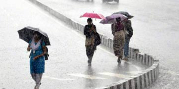
During last few days, the entire state of Odisha has been receiving light to moderate rains for the last 2-3 days. In fact, in the past 24 hours, few places in Odisha witnessed heavy spells of rains as well. The reason for these rains can be attributed to the the deep depression, which was seen over Gangetic West Bengal until yesterday.
Now, the weather system has moved further in west-northwest direction and is now seen over parts of Gangetic West Bengal and adjoining areas of Jharkhand and Bihar.
In a span of last 24 hours from 8:30 am on Monday, Paradip recorded heavy rainfall to the tune of 43 mm, followed by Bhabanipatna 29 mm, Bhubaneswar 19 mm, Jharsuguda 16 mm, Pulbhani 14 mm, Chandbali 12 mm, Puri 10.4 mm, Koraput 9 mm, Cuttack 3.4 mm, Kheonjhargarh 1.3 mm and Titlagarh 1 mm.
[yuzo_related]
The intensity of these rain and thundershower activities are now expected to reduce gradually over most parts of the state.
Accordingly, the coastal areas of Odisha will witness almost dry weather conditions. But the interior districts of the state will continue to witness light to moderate rains during the next two to three days.
Districts such as Angul, Cuttack, Rayagada, Sambhalpur, Kandhamal and Deogarh will witness good rains for the next couple of days. Meanwhile, Bhubaneswar would see light showers only.
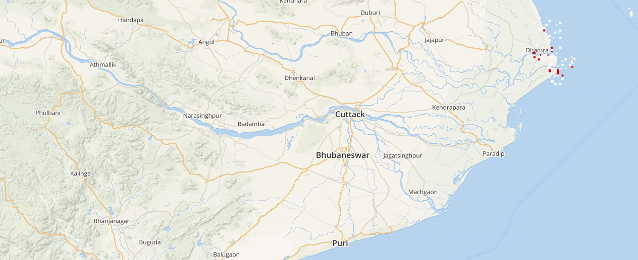
Click here to check the Live Lightning and Thunderstorm status over Odisha:
As on October 9, the sub-divisional rainfall distribution statistics show that Odisha is rain surplus by 45%.
Image Credit: NDTV
Any information taken from here should be credited to skymetweather.com
