
During the last 24 hours, Southwest Madhya Pradesh has received heavy rainfall activity over some places. While, rest parts received light to moderate rains over many places.
In the last 24 hours from 08:30 am on Saturday, Ujjain recorded 48 mm of rain, followed by Satna 30.2 mm, Dhar 20.5 mm, Umaria 15.8 mm, Seoni 9.2 mm, Rewa 4.2 mm, Indore 4.1 mm, Khandwa 3 mm, Jabalpur 2.6 mm, Pachmarhi 2mm, Guna 1.7 mm, Betul 1.2 mm, Bhopal 0.8 mm, Gwalior and Sagar 0.2 mm.
[yuzo_related]
At present, the well-marked low pressure lies over North Coastal Odisha and adjoining region. This system would be moving west/northwestwards and simultaneously the axis of monsoon trough will also be passing through central parts of Madhya Pradesh.
Due to these systems, moist winds are affecting over the state. Hence, clouding over the region will remain. Moderate to heavy rain and thundershowers will be affecting eastern parts of Madhya Pradesh during the next 24 hours.
Thereafter, as the well-marked low-pressure will be moving over to Madhya Pradesh. Thus, heavy to very heavy rainfall activity with flood like conditions will prevail over south and central parts of Madhya Pradesh.
These rainfall conditions will be shifting westwards over to Southwest Madhya Pradesh on July 17. However, northern parts of the state will remain warm and humid with cloudy sky conditions. Light to moderate rains may also occur over few pockets of North Madhya Pradesh.
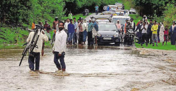
Image Credit: Hindustan Times
Any information taken from here should be credited to skymetweather.com
