
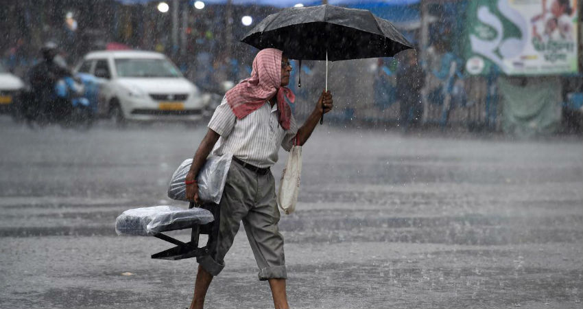
The intensity of Monsoon rain has significantly decreased over Karnataka, particularly over the coastal areas in the last two days. However, scattered rains are continuing over interior Karnataka (particularly in North Interior Karnataka). Now, in the presence of a Low-Pressure Area in the Bay of Bengal, we expect Monsoon surge to revive over most parts of India including Karnataka.
Thus, we expect rainfall activities to gradually increase after 24 hours. This is because, the Low- Pressure Area that has developed over the Bay of Bengal, will have a strong effect all along the West Coast, thereby reviving the Monsoon surge and enhancing the rainfall activities in Coastal Karnataka.
Between July 20 and 23, we expect moderate to heavy with isolated very heavy spells of Monsoon rains to lash the coastal region of Karnataka. The intensity will increase gradually and heavy to very heavy rains are likely on July 22 and 23. Meanwhile, rains will occur with light to moderate intensity only over the interior parts of the state.
These rains would be helpful in improving the rainfall statistics of Karnataka. Overall, we can say that during the coming days the state of Karnataka would witness one of the rainiest spells so far. It is concerning that the torrential rains may result in flash floods/localised flooding in some areas.
Image Credits – Deccan Herald
Any information taken from here should be credited to Skymet Weather
