
The Low-Pressure Area which was earlier over Jharkhand and Bihar region has now moved northwestward and is lying over East Uttar Pradesh and adjoining Bihar region.
Though not a strong system still this feeble system is covering fairly large areas comprising of Uttar Pradesh, Madhya Pradesh, and Bihar.
The experts have to say that in the next two days, this system will move up to the northern parts of Madhya Pradesh, Southwest Uttar Pradesh, and Northeast Rajasthan. The system will possibly become less marked over Northeast Rajasthan.
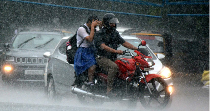
This weather system has already given very heavy rains over Madhya Pradesh and Uttar Pradesh region. Like for instance, yesterday Fursatganj in Uttar Pradesh recorded 131 mm of rains. Lucknow and Damoh also recorded good rains of 66 mm and 68 mm, respectively. Thus, we can say that the central parts of Madhya Pradesh and Uttar Pradesh have received heavy rains in association with this system.
As the system will move northwestward, it will start further covering the central parts of Uttar Pradesh, North Madhya Pradesh and subsequently will cover Southwest Uttar Pradesh and Northeast Rajasthan.
The experts have to say that in the next 48 hours, moderate to heavy rains are very likely at few places of the above-mentioned regions.
We can say that Prayagraj, Kanpur, and Lucknow In Uttar Pradesh while Rewa, Sagar and Satna in Madhya Pradesh will see good rains in the coming 24 hours. Thereafter, rains will shift and can be seen over the places like Meerut, Aligarh, and Bareilly in Uttar Pradesh with rains over Bhopal, Gwalior, Shivpuri, and Guna in Madhya Pradesh.
Around August 23, capital city Delhi and NCR will be in the periphery of this system and hence during that time, we can expect passing showers with isolated heavy spells. In Northeast Rajasthan, places like Alwar, Ajmer, Bharatpur, and Dholpur might also see rains.
On the third day that is on August 23, when the system would fizzle out, it will cause more rains over the western parts of Madhya Pradesh inclusive of Bhopal, Indore, Ujjain, Ratlam and over East Rajasthan.
The rain activities over the central, eastern and Indo-Gangetic Plains will not end here as the system will get merged with a fresh system which is brewing in the Bay of Bengal.
Hence, we can say that the further extension of this system will keep the rain activities mode on.
Weather Alert For Madhya Pradesh
Intermittent spells of rain and thundershower with gusty winds will continue at many places of Ashoknagar, Bhind, Chhatarpur, Chhindwara, Damoh, Datia, Gwalior, Hoshangabad, Jabalpur, Katni, Mandla, Morena, Narsimhapur, Panna, Raisen, Sagar, Satna, Sehore, Seoni, Shivpuri, Tikamgarh and Vidisha the during next 6-8 hours.
Image Credits – Avenue Mail
Any information taken from here should be credited to Skymet Weather
