
 The low pressure area over Northwest Madhya Pradesh and adjoining areas has now weakened. The system is presently seen over northern parts of central Madhya Pradesh.
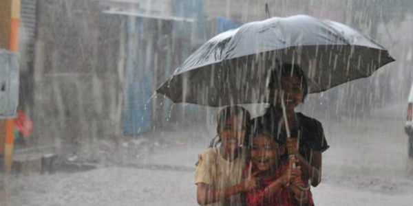
It has been responsible for giving heavy to extremely heavy rainfall over several parts of Madhya Pradesh since last two days.
Last 24 hours from 8:30 am on Tuesday, Dhar recorded 147 mm of rain, Khandwa 139 mm, Ujjain 69 mm, Ratlam 69 mm, and Indore 43 mm.
According to Skymet Weather, the cyclonic circulation is now likely to move eastwards and get further weakened. Eventually the system which has been running in close proximity of Monsoon trough will merge with it.
In this process, the rain belt would now also shift. We can now expect moderate to heavy rains over parts of North Madhya Pradesh and adjoining South Uttar Pradesh. As the system moves further, the rain belt would cover parts of Bihar as well.
The passage of back to back system has helped Madhya Pradesh to cover up its deficiency. As on August 21, West Madhya Pradesh was witnessing below normal rains by just 6% wherein the region has recorded 582.7 mm of rain against the normal of 617.5 mm. But with these ongoing rains, we expect the region will be able to gain zero status with ease.
Image Credit:en.wikipedia.org
Any information taken from here should be credited to skymetweather.com
