
 Despite some flooding rains in East India and parts of North India, country continues to battle high rainfall deficiency to the tune of 10% as on August 8.
Parts of Odisha and Madhya Pradesh have been recording some heavy to extremely heavy rains for the past 2-3 days. However, these limited rains are not adequate to dent the deficiency figure that remains stagnant at 10% for the last four days.
The primary reason behind this can be attributed to the fact that both West Coast and Northeast regions are not performing. For the last many days, both the regions are not having sufficient rains, in fact we should rather say ‘poor rains’.
According to Skymet Weather, both the regions are the two rainiest pockets during the Monsoon season. Until and unless, these regions do not fire together, the rainfall deficiency will continue to mount.
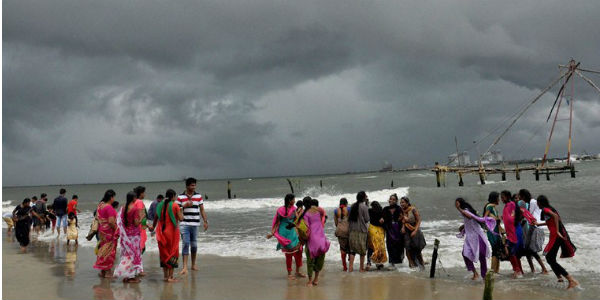
As per the statistics, Konkan & Goa that was surplus by 47% as on July 20, now stands at 12% on August 8. Similarly, Coastal Karnataka which was witnessing above normal rains by 13% on July 20, is at present witnessing below normal rains at -3%.
Northeast India is also witnessing highly deficient Monsoon rains. As on August 8, Arunachal Pradesh is rain deficient by 36%, Assam and Meghalaya by 32% and NMMT (Nagaland, Manipur, Mizoram, Tripura) by 25%.
Let us now have a look at the factors which are responsible for the consistent increase in the countrywide rainfall deficiency.
Off-shore trough- This trough which runs along the West Coast is responsible for giving showers right from South Gujarat coast to Kerala. This is a semi-permanent feature and waxing and waning of this trough is normal. However, this time, it remained less marked from second half of July till present. As a result, rainfall along the West Coast was not up to the mark.
Monsoon trough- The axis of Monsoon trough is another important factor during the Monsoon. This season, the trough remained confined to north of its normal position i.e. foothills of Himalayas for a considerable time. In wake of this, rains also concentrated to that region only.
Monsoon System- Although there were scores of Monsoon systems forming in Bay of Bengal, but they have been not very active ones. Not only this, the reach of these systems was also limited up to Gangetic West Bengal, Jharkhand, Bihar or maximum up to East Bihar.
Western Disturbance- There have been no passage of any active Western Disturbances, which would have interacted with Monsoon trough, leading to enhancement of rains over the hills of northern India that also holds a good share in the countrywide rainfall.
Forecast ahead
Going further, there was a fresh depression in Bay of Bengal and adjoining Odisha and West Bengal, which has now weakened into a low-pressure area. This had kept the Monsoon active to vigorous over the parts of East and Central India.
These conditions would prevail over the region at least for the next two days. Rain belt would cover several areas such as Chhattisgarh, Madhya Pradesh, Vidarbha region of Maharashtra, Odisha, Gangetic West Bengal, Jharkhand and Bihar.
However, this would not be able of much help in terms of reducing the deficiency in the countrywide cumulative rainfall. In fact, weather models are indicating that Monsoon 2018 might slip into a week phase in the next few days, resulting in further rise in the deficiency.
Image Credit: Telegraph
Any information taken from here should be credited to skymetweather.com
