
 Heavy to extremely heavy rains during Monsoon are not new to Mumbai. The Mumbai Monsoon onset is declared with the heavy spell every year but this time it seems to be slightly different. 2018 will see a prolong spell of rains as the Monsoon ushers in over the city.
Skymet Weather had already predicted some heavy to very heavy rains approaching Mumbai, ever since the onset of Monsoon in Kerala. Not only this, we had reiterated that Mumbai Monsoon would make a powerful as well as an early onset, this year.
[yuzo_related]
Since then, we have been quizzed from time to time about our forecast about Mumbai rains. While there is no news of storm or any depression over Mumbai, the city has been still put on alert. So, here is why Mumbai rains would see vigorous turn just at the beginning of the Monsoon only:
Westerly Winds: Till now, coastal areas of Maharashtra have been witnessing northwesterly winds, which do not suggest any significant activity. However, in the next three days, we would see westerly winds setting in. And, this change in wind direction would make all the difference. Westerly or southwesterly winds favour heavy rains. These winds are coming from other side of the equator which is under the influence of Monsoon current. By itself these winds are capable of giving heavy rains on account of their orography.
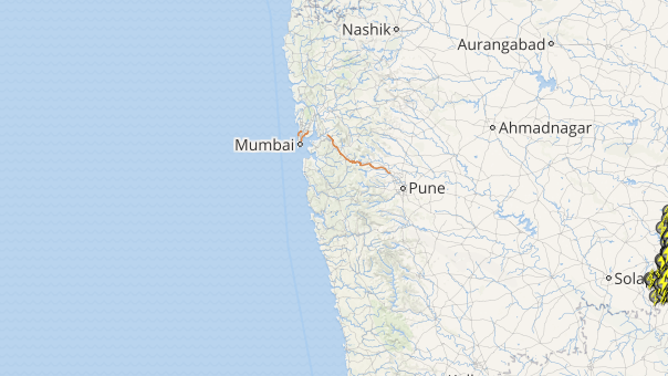
Monsoon Trough: A trough is seen running along the West Coast from Konkan region to Coastal Karnataka. The trough is a semi-permanent feature during the Monsoon season, which is embedded with small scale cyclonic circulations. Konkan & Goa region is more prone to generation of these systems, making the region vulnerable for some heavy rain and thundershowers. Not only this, it is this trough only that causes uneven distribution of rainfall.
Mid Tropospheric System: There is a cyclonic circulation off the Konkan region in Arabian Sea between 15,000 ft and 20,000 ft. This is a significant feature for the enhancement of rain over the region.
Wind Shear: There is a shear line extending from Konkan region, to be specific Ratnagiri, up to south Coastal Andhra Pradesh. This would further induce moisture over the region, which would further aid the ongoing rains over Mumbai and nearby areas.
 Click here to track the live lightning and thunderstorm status across Mumbai
Upper Tropospheric System: We can see strong easterly jet stream winds over the southern parts of Peninsular India, which further strengthen the rains. Winds are presently in excess of 100 kmph and the stronger these winds are, the better Monsoon activities we can expect.
Low Pressure Area: Last but not the least, a fresh low pressure is likely to form in North Bay of Bengal by June 9 that would further pull the Monsoon surge, resulting in enhancement of rains.
With all these factors in place, Mumbai must now gear up for heavy to very heavy rains in the coming days, particularly from June 8-10. We would now see rains even crossing 100 mm mark on few occasions.
In fact, the beginning has already given a trailer of the same. Thursday saw heavy showers lashing most parts of the city. With this, we now expect Monsoon to make onset over the city anytime soon.
Image Credit: NDTV
Any information taken from here should be credited to skymetweather.com
