
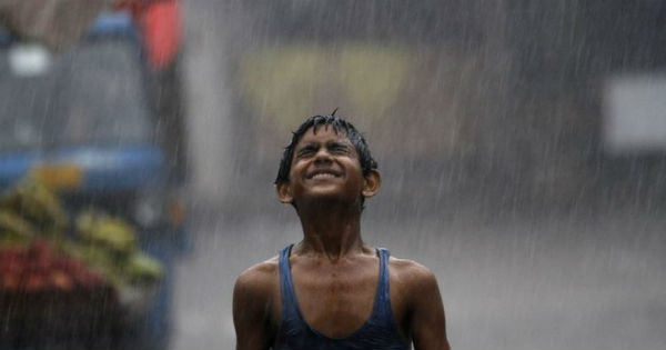
Monsoon has been active in several parts of the country including Madhya Pradesh. The state has been recording on and off good Monsoon showers during the last few days but last 24 hours saw some heavy spells.
Though rains were recorded the across the state but the intensity of rains has been more over West Madhya Pradesh.
In the span of 24 hours from 8:30 am on Tuesday, Malanjkhand recorded extremely heavy rains to the tune of 108 mm of rain. This was followed by Tikamgarh 62 mm of rain, Gwalior 27.7 mm, Raisen 26 mm, Seoni 26.2 mm, Rewa 20 mm, Sagar 20 mm, Guna 15 mm, and Ratlam 10 mm.
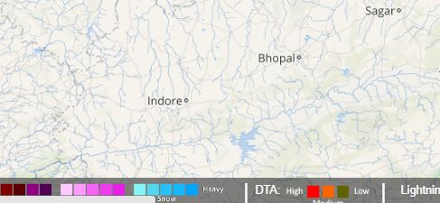
Click the image above to see the live lightning and thunderstorm across Madhya Pradesh
Meanwhile, Indore settled with traces of rain, while Bhopal remains dry.
These rains can be attributed to the trough running from West Rajasthan to Bay of Bengal across Madhya Pradesh and Chhattisgarh. Further, with the trough likely to persist, we can expect more moderate rains during the next 24 hours with some places receiving heavy showers as well.
[yuzo_related]
These rains will also be responsible for the further advancement of Monsoon, which is now likely to cover the entire state. At present, Monsoon has reached till Guna, Satna, and Siddhi.
As on June 27, West Madhya Pradesh is rain surplus by 16%, while East Madhya Pradesh is rain deficient by 31%. According to weathermen, June will end on deficit note for East Madhya Pradesh.
Image Credit: scoopwhoop
Any information taken from here should be credited to skymetweather.com
