
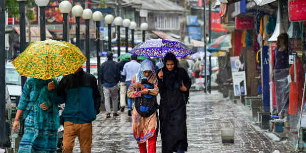
The hills of North India, particularly Himachal Pradesh and Uttarakhand have been observing good rain and thundershowers since last many days. Moreover, the unrelenting showers resulted in widespread landslides and mudslides across the region. In fact, isolated areas also witnessed cloudbursts events.
All this while, rains remained at ease over Jammu & Kashmir.
[yuzo_related]
During past 24 hours from 08:30 am on Thursday, Pantnagar recorded rains of 28 mm, Katra 27 mm, Shimla 21 mm, Jammu 19 mm, Kukernag 17 mm, Pahalgam 15 mm, Banihal 13 mm, Qazikund 11 mm, Dehradun 8 mm, Manali 7 mm, Pithoragarh 6 mm, Mussoorie 5 mm, Gulmarg 5 mm and Haridwar 3 mm.
According to Skymet Weather, the axis of Monsoon trough has shifted to South Uttar Pradesh, but humid winds from Bay of Bengal are inducing moisture over the Western Himalayas. In view of this, we anticipate on and off rains of light to moderate intensity to go on over Himachal Pradesh, Uttarakhand and parts of Jammu & Kashmir until next week, probably up to September 13.
Thereafter, the rainfall intensity will reduce significantly and we do not hope for extremely heavy showers triggering incidents like cloudbursts.
Tourists are advised to abstain from going to these hills for at least one week.
So far, Jammu & Kashmir has received normal rains of 7%. Himachal Pradesh and Uttarakhand too saw normal rains but with a mere deficiency of -4% and -2%, respectively.
Image Credit: newindianexpress.com
Any information taken from here should be credited to skymetweather.com
