
Monsoon rains have been playing pretty good over the hill state of Uttrakhand that has been receiving good rains from a long time. So much so that incidents of cloudbursts and landslides became very common at a few districts of the state.
In fact, in the last 48 hours, districts like Nainital and Pantnagar even recorded three-digit rains that reduced in the last 24 hours. Within a span of 24 hours, from 08:30 am on Friday, Pantnagar recorded 34 mm of rains, Almora 14.8 mm, Nainital 9.5 mm, Mukteshwar 8.8 mm and Tehri witnesses light spells of 4.2 mm.
[yuzo_related]
These rains as per Skymet Weather can be attributed to the Western Disturbance in the Western Himalayan region and a trough running from Punjab up to East India along the foothills of Himalayas. However, now the Western Disturbance is moving away from East Jammu and Kashmir. Moreover, the trough line is also seen running almost close to the foothills of Western Himalayas.
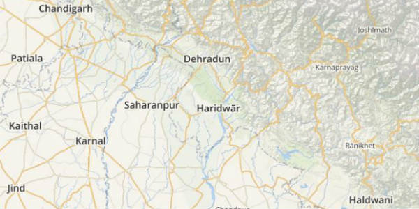
In the wake of this, rains are likely to reduce over Uttarakhand. However, light rains with a few moderate spells particularly over the eastern districts of the state are still likely to continue. Hence, the districts like Pithoragarh, Champawat, and Chamoli may anticipate a few moderate spells. But the districts in the western region of the state like Mussorie, Nainital, Haridwar, and Dehradun may witness light spells only.
Click the image above to see the live lightning and thunderstorm across Uttarakhand
On account of decreasing rains, the chances of landside and cloudbursts are also likely to reduce.
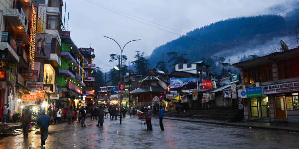
Image Credit: Garnished nonsense
Any information taken from here should be credited to skymetweather.com
