
The presence of Western Disturbance and induced Cyclonic Circulation over Rajasthan have brought in thick clouding and rains over western parts of Uttar Pradesh.
Rains have already initiated in parts of extreme northwest and western parts of the state. The activity will continue and intensify in parts of Central Uttar Pradesh by today.
Subsequently, a trough is likely to form from the eastern parts of the state towards South. Thus, the ongoing activity will further enhance over Eastern parts of the state. Rain and thundershower with light to moderate intensity and strong gusty winds are expected over most parts in the next 48 hours.
Major cities like that of Bareilly, Ghaziabad, Noida, Lucknow, Saharanpur, Meerut are likely to be the witness to this, receiving intermittent rain today.
Squall and hailstorm may also occur along the foothills at isolated pockets. Due to the thickness of clouds and precipitation, the day temperatures are likely to drop over West Uttar Pradesh for the day and over East Uttar Pradesh by March 3.
Tomorrow places like that of Gorakhpur, Varanasi, Prayagraj, Azamgarh, Ballia will have intermittent rain and thundershower activity.
During this episode, night temperatures are likely to rise over most parts of Uttar Pradesh. The activity will continue up to March 4 and an improvement in weather will start initiating by March 5.
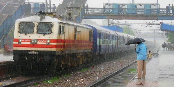
Image Credits – Flickr
Any information taken from here should be credited to Skymet Weather
