
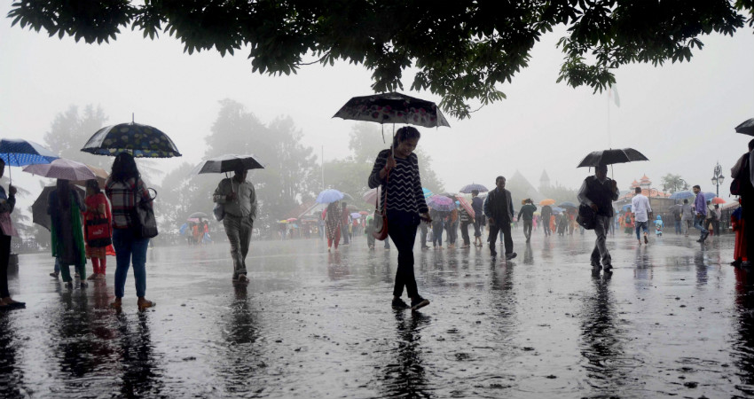
Northeast India, especially Arunachal Pradesh, Assam and Meghalaya has already been witnessing rains in the past 24 hours. In fact, the coming week would see rains intensifying significantly courtesy very severe cyclone Fani in Bay of Bengal.
In span of 24 hours from 8:30 am on Monday, Cherrapunji recorded extremely heavy rains to the tune of 133 mm, Itanagar 63.3 mm, Jorhat 50 mm, Mazbat 46.2 mm, Dibrugarh 23.6 mm and Gangtok 15.4 mm. Whereas, Nagaland, Manipur, Mizoram and Tripura witnessed comparatively less rains.
The storm in the Bay which is intensifying and shifting northward has changed the wind profile in Northeast India. According to weathermen, whenever the winds from south or southwest come over Northeast India, it results in rainfall.
As the Very Severe Cyclone Fani would come closer to Andhra Pradesh and Odisha coast around May 2, these southerlies are expected to strengthen further and therefore rains would increase. By May 3, Fani is likely to make landfall at Odisha coast.
During this time, Northeast India would witness heavy to very heavy rains on the night of May 3 which would continue till May 4. On May 4 and 5, the northeastern states would witness widespread rain and thundershowers. However, there can be short breaks especially during forenoon hours. The weather activity is expected to become intense during evening or night.
However, worst is yet to come as once the system crosses Odisha, it will then be a non-stop affair of rains for the Northeast states. There would be flooding rains over entire Northeast India. The experts have to say that lower Assam and Meghalaya will bear the fury of these rains. After landfall, the system would head towards West Bengal and Bangladesh.
Possibly around May 5 or 6, the system would fade away. However, cloudy and overcast sky along with isolated rains due to the remnants of the system cannot be ruled out. On May 7, rains would be on a lower note.
The northeastern states of the country are the major contributors in pre-Monsoon rain and thundershowers. From March 1 till April 29, Nagaland is in normal category and is at –13% (+/- 19%). Rest of the states are largely deficit wherein Mizoram is large deficit by 70% and Arunachal Pradesh by 51%. Meghalaya being the rainiest pocket is deficit by 41%. These upcoming rains in wake of very severe cyclone Fani would help in recovering the rain deficits.
Image Credit: The Shillong Times
Please Note: Any information picked from here must be attributed to skymetweather.com
