
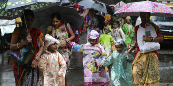
Updated on April 14, 12:40 pm: In the past day, most of the northeastern states recorded pre-Monsoon rain and thundershower activity accompanied by strong winds and lightning strikes.
In the last 24 hours from 8:30 am on Friday, North Lakhimpur recorded rain to the tune of 25 mm, Pasighat 22 mm, Goalpara 29 mm, Dibrugarh 14 mm, and Lumding 13 mm of rains. In the same time, Gangtok received 8 mm of rains and Kohima 4 mm rains.
An upper cyclonic circulation is over northern parts of Bangladesh and Sub Himalayan West Bengal. In fact, an upper air trough is extending from Sikkim to southern parts of Bangladesh.
Due to these weather systems, warm and moist winds from the Bay of Bengal are feeding moisture over states, Hence, light to moderate rains are expected to continue over most parts of Northeast India during the next 24 to 36 hours. Thereafter, the intensity of Pre Monsoon rains is likely to decrease.
Updated on April 13, 13:44 pm: Entire Northeast India is experiencing pre Monsoon rains of varying intensity for the past three days. Assam, Nagaland, Arunachal Pradesh, Manipur, Mizoram, Meghalaya, and Tripura have been witnessing light to moderate rains and thundershower activities with isolated heavy showers. These rains were also accompanied by gusty winds and lightning strikes.
[yuzo_related]
In the last 24 hours from 08:30 am on Thursday, Dhubri recorded heavy rains to the tune of 90 mm, followed by Pasighat at 51 mm, North Lakhimpur 43 mm, Jalpaiguri 42 mm, Goalpara 30 mm rains, Tezpur 27 mm, Guwahati 27 mm Kohima 15 mm and Siliguri 14 mm.
As per Skymet Weather, these rains can be attributed to the cyclonic circulation which is marked over East Bangladesh. The circulation has also been attracting humid winds from the Bay of Bengal. This is a semi-permanent feature for the northeastern states during this season that would keep on oscillating east to west. It becomes active from time to time leading to increase and decrease in the rainfall. At present, weathermen are of the view that the system will not fade away during the next three to four days.
Henceforth, the circulation and humid winds would enhance the cloud cover and give rainfall over almost entire Northeast India. We expect pre Monsoon rains of varying intensity to continue over Northeast India for the next three to four days.
In fact, the day temperatures will remain below normal over many parts of Northeast India. As per weathermen, the weather is likely to start clearing up from April 17. Until then, northeastern states are expected to observe comfortable to pleasant weather conditions.
IMAGE CREDIT: Wikipedia.org
Any information taken from here should be credited to skymetweather.com
