
A Western Disturbance is moving across the state of Jammu and Kashmir. Due to the movement of the Western Disturbance as an upper air system in the last 24 hours, Jammu and Kashmir received light to moderate rainfall activity, mainly in the hilly areas.
If we look at the rainfall figures, till now Jammu and Kashmir has performed well in the Monsoon season and is rainfall surplus by 12%.
In the last 24 hours, in the state of Jammu and Kashmir, Banihal received 12.9 mm rain of rain, followed by Batote 1.8 mm, Bhaderwah 2 mm, Jammu 4 mm, Katra 0.4 mm, Kukernag 3.8 mm, Pahalhgam saw 5 mm and areas of Qazigund and Gulmarg recorded 1.8 mm and 0.6 mm respectively.
This weather system is soon likely to moving away but another Western Disturbance is likely to appear during the next 24 hours over the region of North Pakistan. Due to which, we expect rain and thundershower activity spanning over the weekend.
These rains although, are expected to mainly affect the hilly stations.The plains in the state are expected to experience cloudy sky and chances of light rain over a few places. These activities however, will decrease after the next 24 hours.
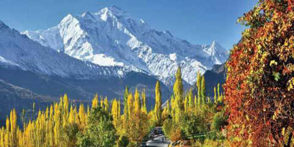
Image Credits – Greater Kashmir
Any information taken from here should be credited to Skymet Weather
