
As predicted earlier by Skymet, rain has begun to lash parts of Meghalaya. A Cyclonic Circulation has formed over Bangladesh and Tripura, which is responsible for the activity in the region. This system is likely to persist in the area for another two days. A trough in the westerlies (Higher level) is also enhancing these activities which is presently moving across Bihar and Jharkhand region.
Pre-Monsoon activities are likely to pick up over the region today onward, mainly affecting Meghalaya, Tripura and a few places in Nagaland, Assam and Mizoram. These activities will intensify after 24 hours.
During this period, moderate rain and thundershower with isolated heavy spells and thunder-squalls are expected over the region. The speed of the winds might at times reach 80 kmph.
Normally, the thunderstorm activities remain confined during the morning and evening hours. The afternoon might however get hot and uneasy due to the persisting humidity levels.
Interestingly, Northeast India contributes about half of the pre-Monsoon rain received by India, which is 132 mm. In Northeast India, the main contribution comes from Arunachal Pradesh followed by Assam & Meghalaya, Nagaland, Manipur, Mizoram and Tripura.
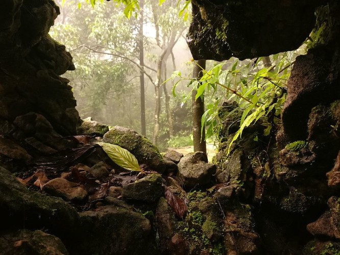
Image Credits – Wikipedia
Any information taken from here should be credited to Skymet Weather
