
This year Monsoon withdrawal got delayed and that is the reason why Madhya Pradesh continued to witness good rains until mid-October. Since the last few days, the southern districts of Madhya Pradesh have been receiving scattered rain and thundershowers.
Therefore, as on October 29, West Madhya Pradesh is largely excess by 77% and East Madhya Pradesh by 9%. Madhya Pradesh as a whole is observing rain excess of 45%.
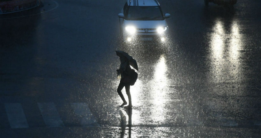
In a span of 24 hours from 8.30 am on Tuesday Betul recorded 32 mm of rain, Chhindwara 18 mm, Pachmarhi 3 mm, Seoni 2 mm, whereas Bhopal, Rajgarh, Ujjain and Ratlam received light spells.
According to our experts, scattered light rains will continue over South Madhya Pradesh for another 24 hours as the confluence zone is still persisting over the southern parts of Madhya Pradesh wherein the dry northerly and northeasterly winds are interacting with the humid south easterlies coming from the Bay of Bengal.
Due to these light rains and cloud cover, day temperature of many parts of Madhya Pradesh are below normal by two to three degrees whereas the minimums are marginally above normal.
After two to three days, the day temperatures are expected to rise by a couple of degrees and minimums might drop by two to three degrees resulting in a warm day and cool nights. This will be because of the commencement of dry north westerlies and the diminishing of the cloud cover.
Post 48 hours, the weather activities in Madhya Pradesh will almost get over, which will lead to dry weather conditions.
Image Credits – TWC
Any information taken from here should be credited to Skymet Weather
