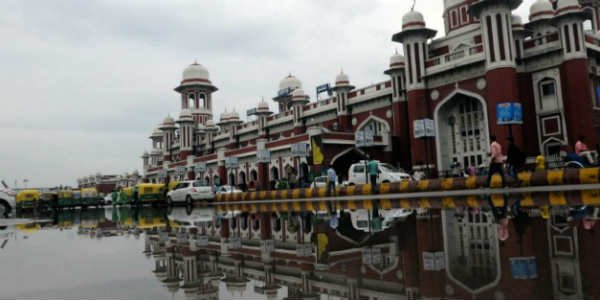
At present, most parts of the plains of North India, mainly parts of Northwest India are witnessing break Monsoon conditions. Rains have not occurred over most parts for a long time. Although, the hills of North India have been receiving moderate to heavy rains.
The reason for the break Monsoon condition over the region is the persistence of the axis of Monsoon trough over the foothills of the Himalayas. Normally, this time, Uttarakhand and adjoining areas receive more rains which happened on the last day as well.
During the last 24 hours, Uttarakhand has received moderate to heavy rains at many places with heavy spells at isolated pockets. Parts of Himachal Pradesh also recorded light to moderate rains at many places.
In the last 24 hours, from 08:30 am on Dehradun recorded 128 mm of rains, Sundernagar 36.4 mm, Haridwar 34 mm, Mandi 21 mm, Dharamsala 21 mm, Nainital 13 mm, Pantnagar 13 mm, and Tehri recorded 2 mm of rains.
As of now, rain is likely to continue over these areas as no significant change is expected in the atmosphere of the region.
Rains would continue over Uttarakhand and Himachal Pradesh. Isolated light rains may also occur over adjoining plains of Punjab, Haryana, and northwest Uttar Pradesh in places like Dehradun, Mussoorie, Pantnagar, Shimla, Nahan, Chandigarh, Ludhiana, Panchkula, Moradabad, Saharanpur, and Muzaffarnagar.
The rain will intensify thereafter over the plains as the axis of Monson trough would shift further towards the south, reducing rains over the hills.
Image Credit: Instagram
Any information taken from here should be credited to skymetweather.com


