
Southwest Monsoon 2019 has entered into an active phase, triggering heavy to very heavy rains over central, and western parts of the country. These rains have also pulled down the countrywide seasonal rainfall deficiency to 13% as on July 27, which had once mounted to 19% on account of break Monsoon conditions.
The good news is that Monsoon surge would continue to be in active zone for yet another 10 days. According to Skymet Weather, series of low pressure areas would keep the Monsoon active in the coming days.
A low pressure area had developed over North Bay of Bengal on July 26, which moved inland through West Bengal. The system was also responsible for pulling down the Monsoon trough which was running close to foothills of Himalayas. However, the system has now become less marked and has merged with the Monsoon trough.
Meanwhile, another cyclonic circulation has developed over North Bay of Bengal. This circulation is also likely to become more marked and induce a low pressure area over the region by July 30-31. As per weathermen, the system is likely to move inland again and follow almost similar track as the previous one. But as soon as it would reach central parts of the country, it would start moving in north towards Northwest India.
Thus, unlike the earlier system, this likely low pressure area would also bring rains over northern parts of the country like Punjab and Haryana. The trough which is now running south of its usual position, would then oscillate towards north. As a result, northwestern plains including Delhi would see another spell of Monsoon rains around July 30 or 31. East and Central parts would continue with moderate to heavy rains. It would also activate the off-shore trough along the West Coast, bringing more rains over Coastal Karnataka and Konkan & Goa including Mumbai.
This is not all, weather conditions are conducive for another low pressure area is likely to develop in North Bay of Bengal around August 4. This would too follow the same pattern, keeping Monsoon active over the country.
With this, like July, August is also likely to witness a thumping start.
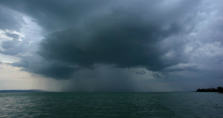
Image Credits – The Statesman
Any information taken from here should be credited to Skymet Weather
