
During the last 24 hours, Gangetic West Bengal and North coastal Odisha received intense thunder-squall as well thundershower activities. These activities were due to a Confluence Zone extending from Gangetic West Bengal to Telangana and Interior Karnataka. Humid winds from Southeast, blowing over Bay of Bengal were merging with hot and dry winds from Northwest over the area leading to Convective Cloud formation and subsequent thundershower and rainfall activities. Lightning strikes were also very frequent in this rain episode.
Now, this Confluence Zone is likely to persist for another 24 hours. Therefore, we expect rain and thundershower activities with strong surface winds, lightning strikes and Nor’westers like activities to continue over Gangetic West Bengal as well as over Odisha during the next 24 hours.
Thereafter the intensity will go down, however the weather will not go completely dry. On and off activities are likely to continue.
This is the favorable time during the Pre-Monsoon season that these activities intensify. When the temperatures rise and there is moisture incursion, Nortwester or Kal Baisakhi becomes violent.
We expect a few more incidents of these activities to re-occur during the month of April. In the month of May, the intensity of such episodes is likely to increase even further with the rising temperatures.
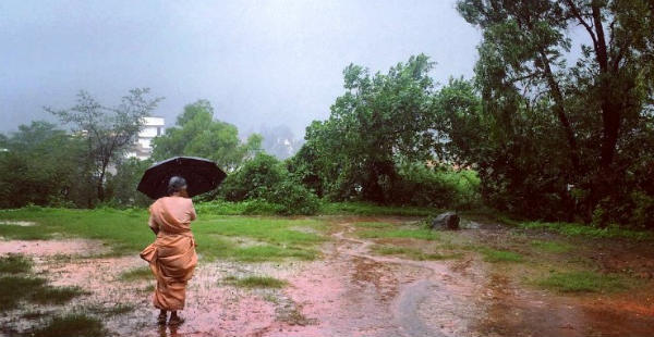
Image Credits – Hindustan Times
Any information taken from here should be credited to Skymet Weather
