°C
Current temperature
5:30 AM, Jan 01, 1970Hourly
7 Days
15 Days

Weather buddy
Over the next 15 days, temperatures will rise notably after about one day from today, starting around mid-June. We'll experience a heat wave period beginning on June 18th and ending on June 20th, with daily maximum temperatures reaching up to 40 degrees Celsius. Although there are no severe heat waves predicted in this forecast, conditions will remain hot and humid throughout the week. A brief respite from the intense heat is expected towards the end of the period as we move into June 21st-23rd with temperatures slightly dropping back down before a sunny day on June 24th. Rainfall returns later in the forecast, marking a significant amount over the weekend. Keep hydrated and stay cool!


Rainfall probability

Wind speed


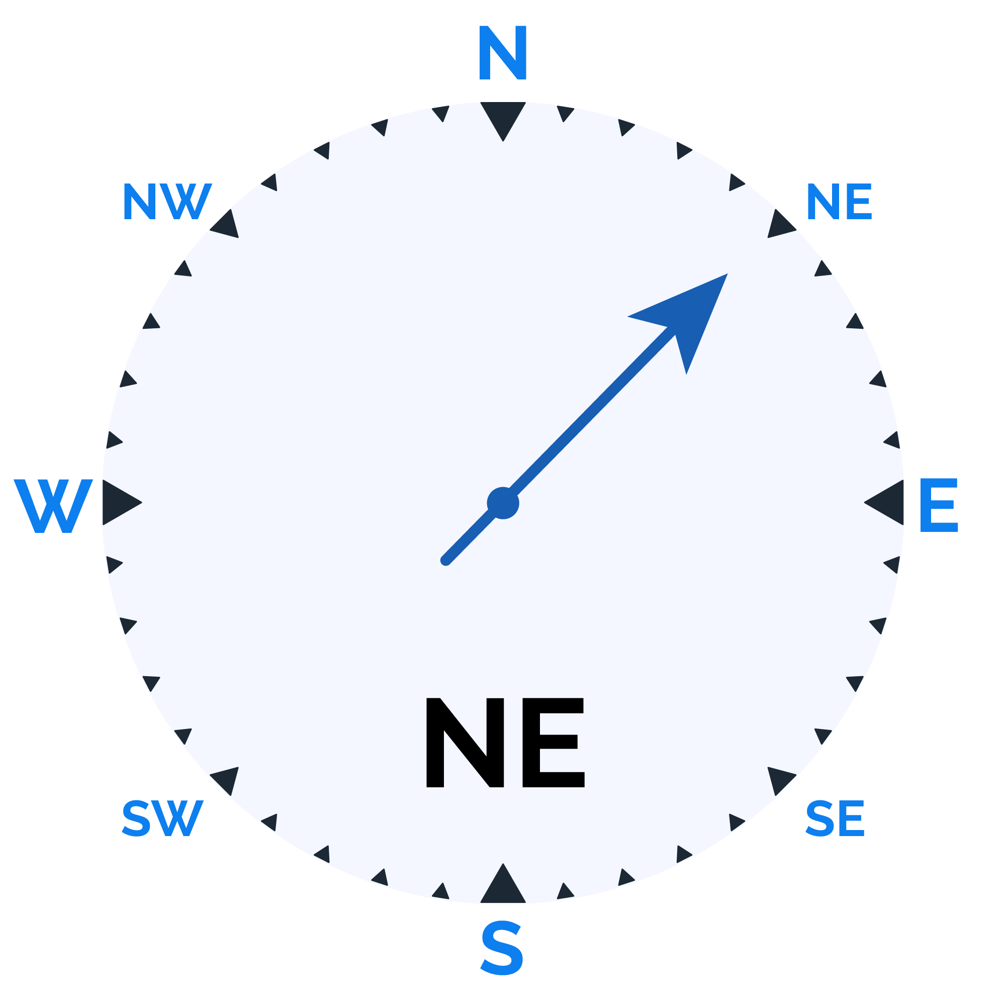

Humidity
Sunrise/Sunset

Moonrise/Moonset


Weather buddy
Today's weather will start off cloudy with temperatures ranging from 31.0°C to 38.0°C in the morning, accompanied by humidity between 40% and 61%. The wind will be moderately strong at approximately 21.0 km/h. As evening approaches, expect slightly higher temperatures of 36.0°C to 40.0°C with a slight increase in humidity from 40% to up to 77%, and similar cloud cover conditions prevailing. Nightfall will see cooler temperatures ranging from 28.0°C down to 36.0°C, along with increased humidity levels between 43% and 88%. It's also likely that a minimal amount of rain (around 2.0 mm) may occur in the evening and during the night under persistent cloudy conditions. Wind speeds will decrease to an average of around 17.1 km/h at night. Stay prepared for these consistent weather patterns throughout the day.
 Temp (Min/Max)
CLOUDY Humidity
62%
 Dew Point
24°C
Highly Humid
 Wind speed
19 km/h
Wind Speed