
°C
Current temperature
5:30 AM, Jan 01, 1970Hourly
7 Days
15 Days

Weather buddy
Over the next 15 days, temperatures will generally be warm to hot with a slight cool-down on day 6. A heat wave is expected to begin around May 28th and last until June 1st, during which daily maximum temperatures are predicted to reach up to 45°C. This marks the start of our severe heat wave window, where temperatures could exceed 45°C on a few days. The weather will be mostly sunny with some cloud cover, especially towards the end of the forecast period. Humidity levels may vary from moderate to high, and there will not be significant rainfall until June 1st. Winds are expected to remain mild to moderate throughout this period. Remember to stay hydrated and avoid prolonged exposure during peak heat hours!




Rainfall probability

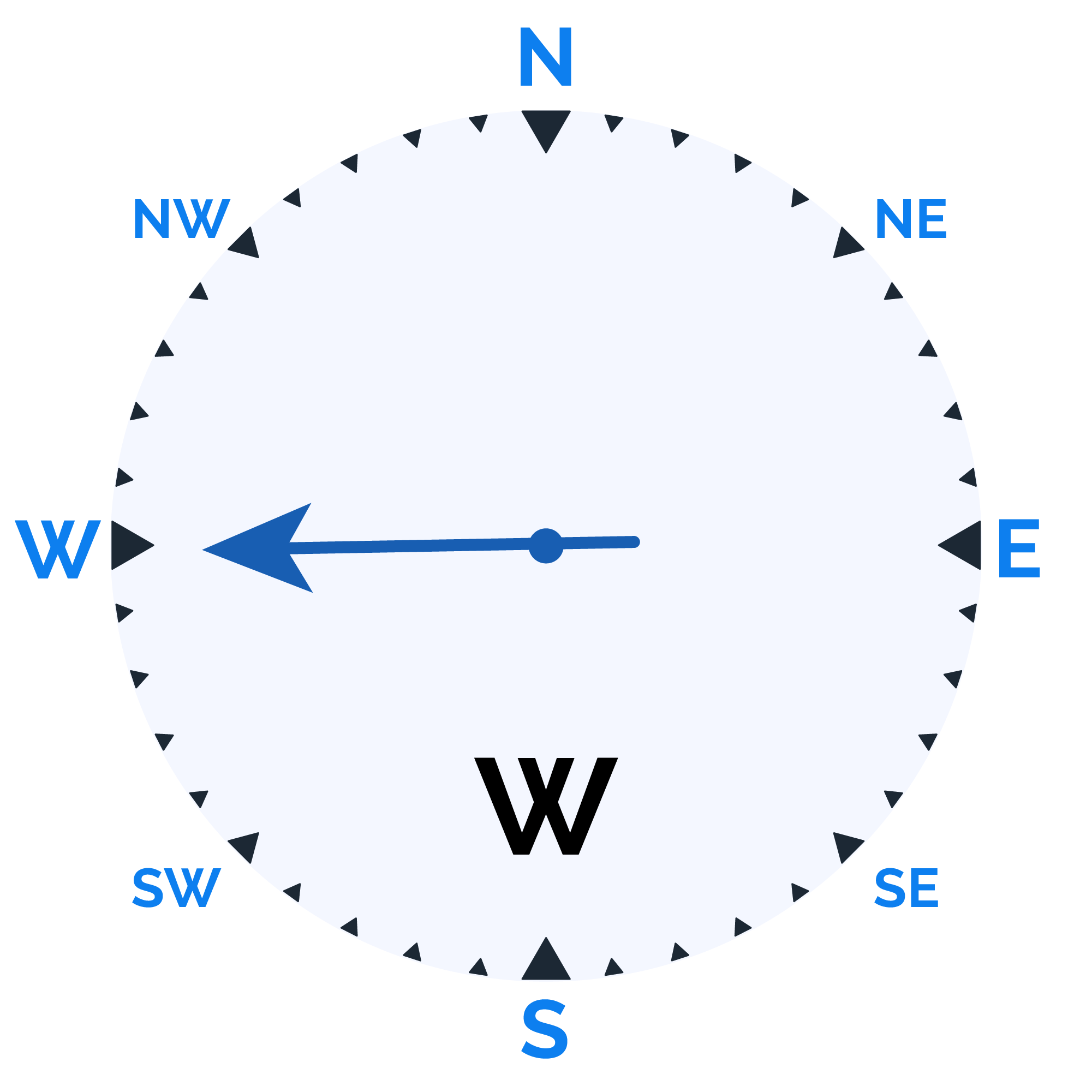
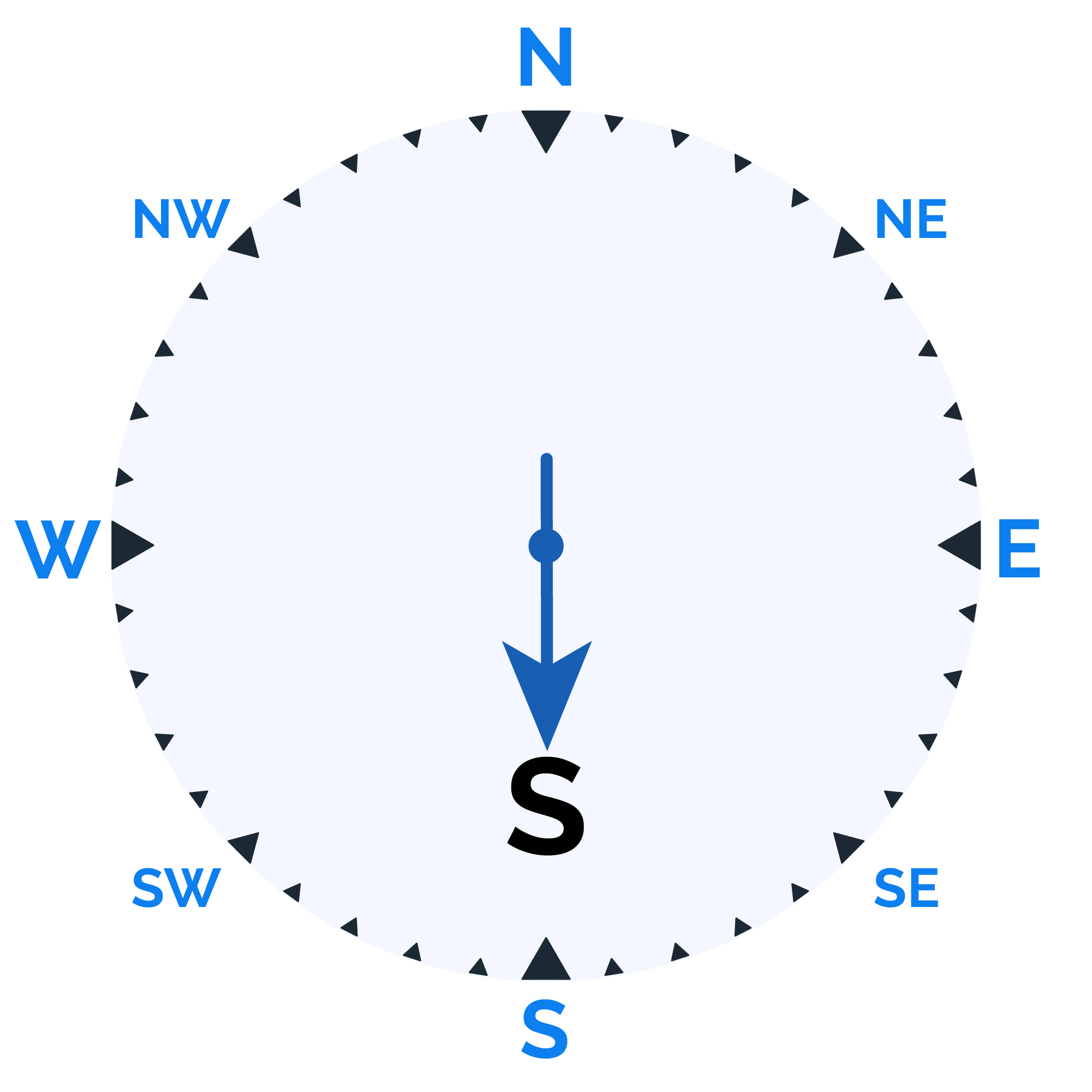
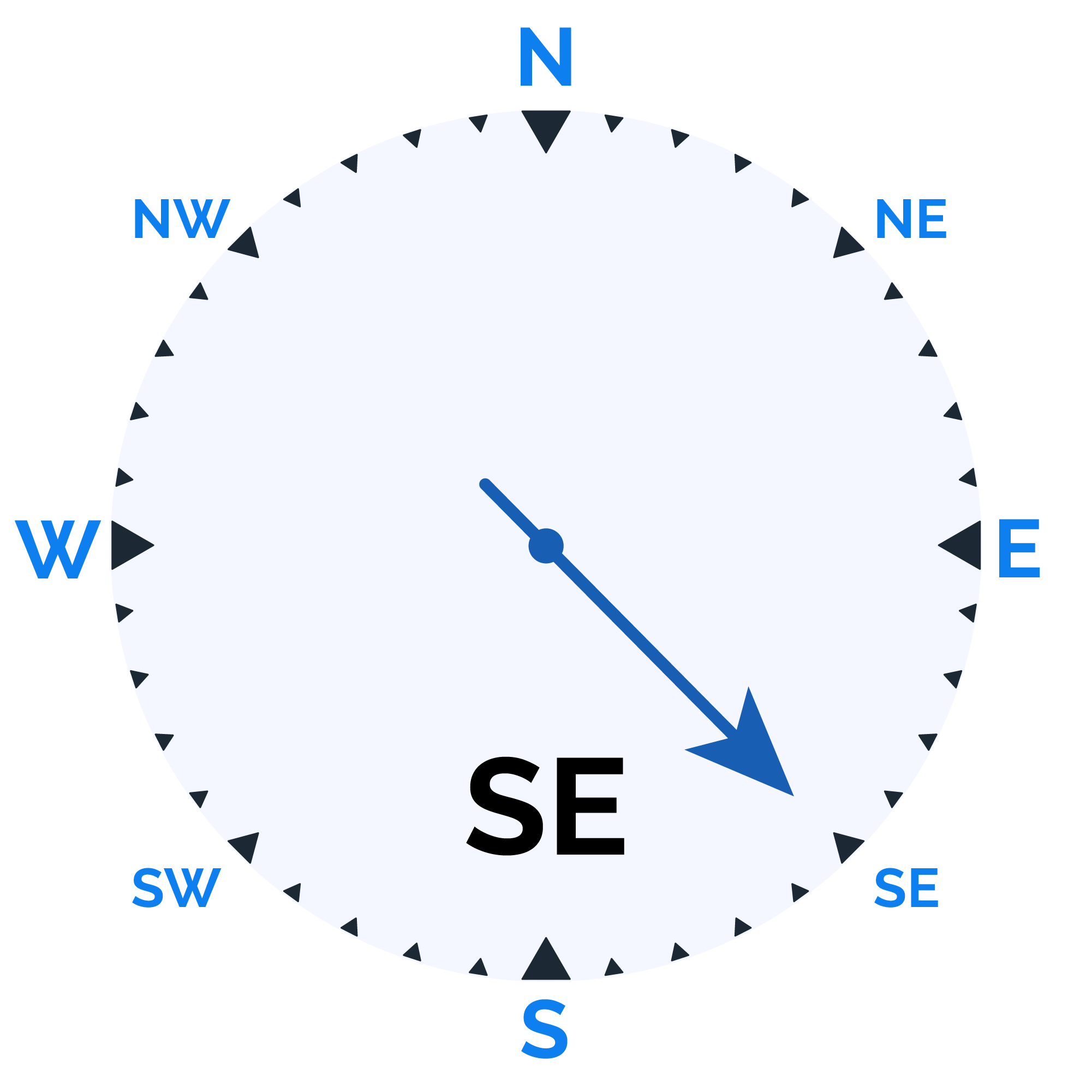
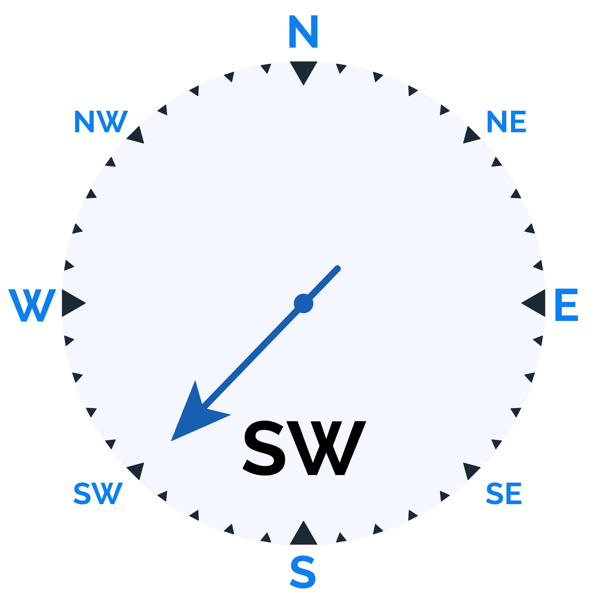
Wind speed

Humidity

Sunrise/Sunset


Moonrise/Moonset






Weather buddy
Today's weather will start off with a sunny morning, as temperatures range between 31.0°C and 44.0°C accompanied by low humidity levels of 30%-53%. The skies remain clear, offering maximum daylight visibility for outdoor activities. In the evening, expect slightly cloudier conditions with a small 3% cloud cover while temperatures peak at around 44.0°C to 45.0°C and humidity levels will be between 28% and 30%. The wind speed will decrease to approximately 18.5 km/h, yet the absence of rainfall ensures that your evening plans remain unaffected by weather-induced disruptions. As night falls, temperatures will drop slightly but stay within a high range of 28.0°C and 40.0°C. Humidity levels increase to between 35% and 55%, while the skies clear up once again with just 1% cloud cover. The winds will also ease down to around 16.0 km/h, making for a pleasant night outdoors without any precipitation events.
 Temp (Min/Max)
Clear Sky Humidity
41%
 Dew Point
21°C
Highly Humid
 Wind speed
37 km/h
Wind Speed


