
°C
Current temperature
5:30 AM, Jan 01, 1970Hourly
7 Days
15 Days

Weather buddy
Over the next 15 days, we can expect a general increase in temperature after about one day. Starting from May 24th, temperatures will reach highs of up to 46°C and lows around 30-36°C. The entire period is characterized by warm weather with occasional cloud cover, but there won't be any significant rainfall. Notably, we are entering a heat wave from May 24th to 29th where temperatures will consistently hit at least 45°C daily. This severe heat wave period also begins on the 24th and lasts until the 29th. During this time, it's crucial to stay hydrated and avoid outdoor activities during peak sunlight hours. The weather will see a break from these hot temperatures after May 31st as we transition into June, with average temperatures dropping slightly below previous highs. The cloud cover increases by the end of May, leading to some light rainfall on the first day of June.





Rainfall probability

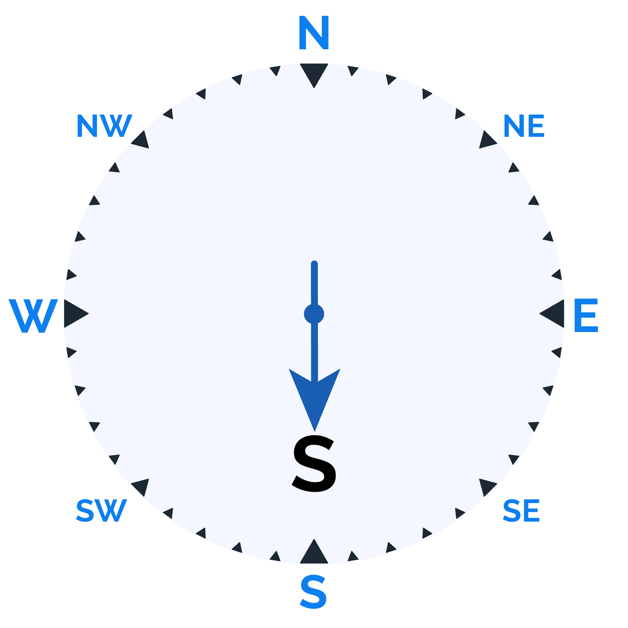
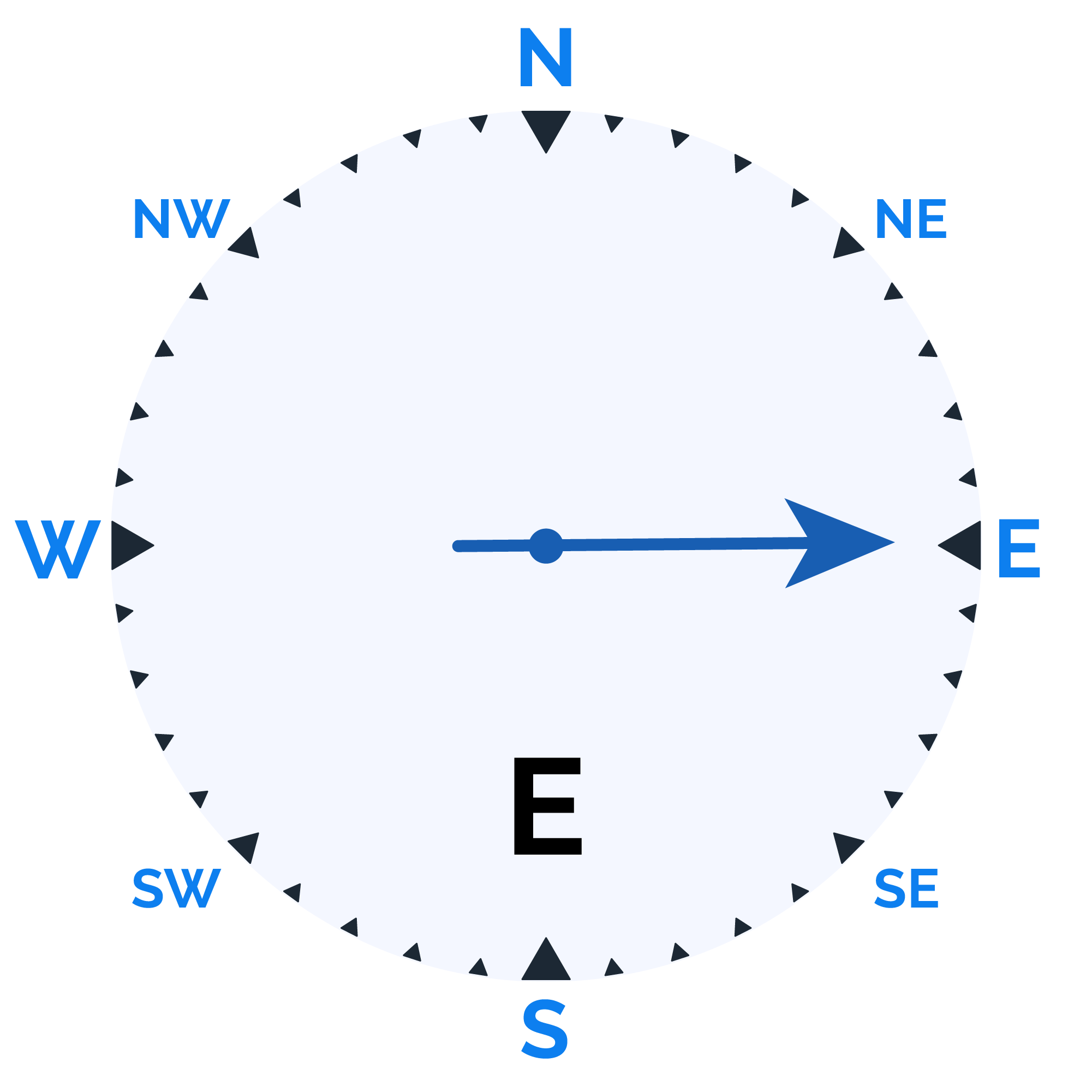
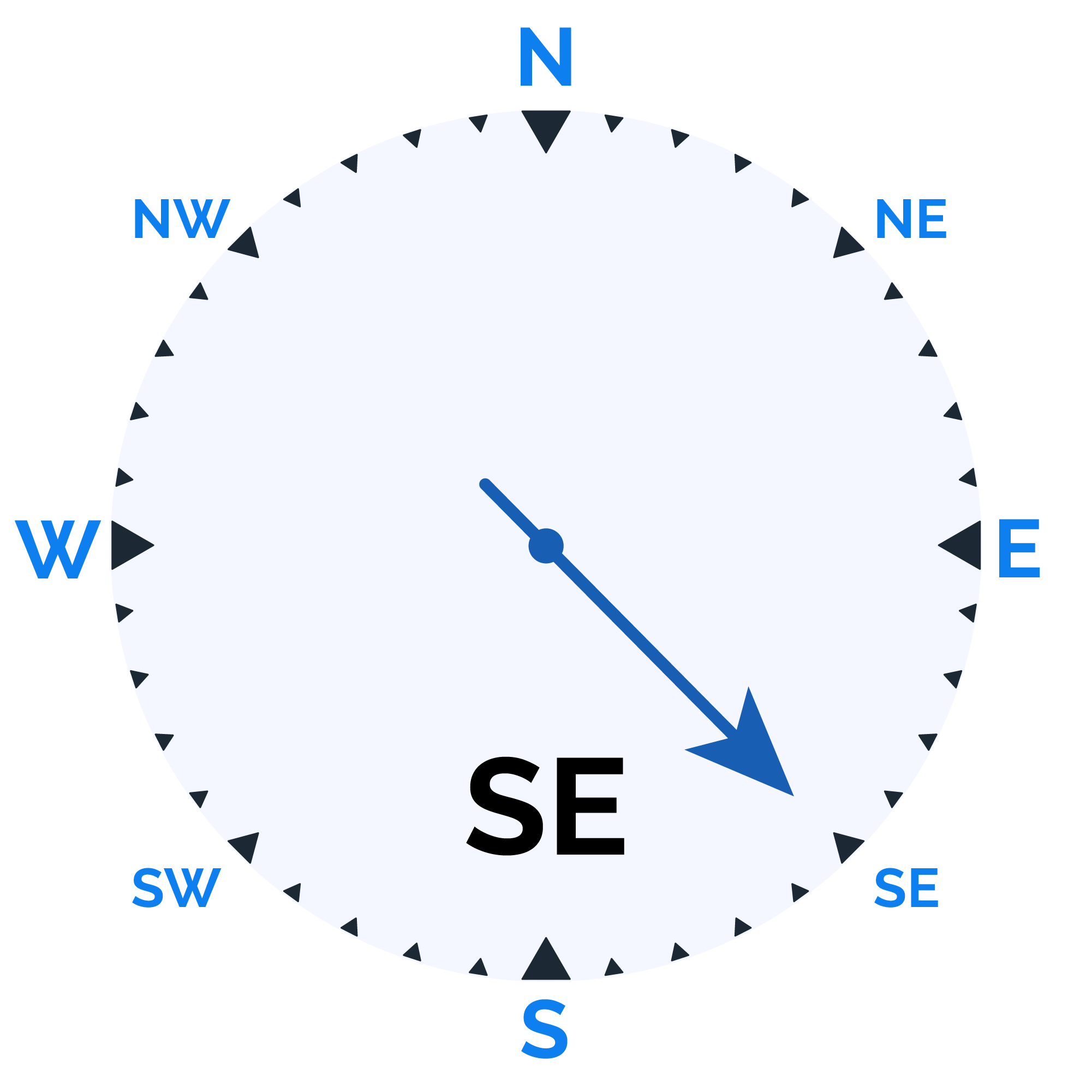
Wind speed

Humidity

Sunrise/Sunset


Moonrise/Moonset







Weather buddy
The day will start hot with morning temperatures ranging from 30.0°C to 45.0°C, accompanied by low humidity levels between 27% and 69%. Expect clear skies without any rainfall as wind speeds reach up to 19.8 km/h. As the evening approaches, temperatures will slightly increase but remain within a high range of 44.0°C to 46.0°C with minimal cloud cover and negligible chances of rain, while winds may pick up slightly to around 22.2 km/h. The nighttime weather transitions into a partly cloudy sky with temperatures cooling down between 27.0°C and 38.0°C, higher humidity levels ranging from 46% to 84%, and wind speeds escalating up to 30.2 km/h.
 Temp (Min/Max)
HOT Humidity
29%
 Dew Point
31°C
Highly Humid
 Wind speed
30 km/h
Wind Speed


