°C
Current temperature
5:30 AM, Jan 01, 1970Hourly
7 Days
15 Days

Weather buddy
Over the next 15 days, expect a gradual increase in temperatures starting from tomorrow's forecast. From Tuesday onwards, daily highs can reach up to around 40°C, with an overall average temperature of about 32°C after that day. There will be a heat wave period between June 4th and 7th, when temperatures may climb as high as 40°C or more. However, during this timeframe, no severe heat waves are expected, so there's no need for concern about extremely high daily maximum temperatures of over 45°C. Humidity levels will range from moderate to slightly higher than average due to some rainfall throughout the period, with a total accumulation of around 133 mm. Wind speeds are anticipated to be on the higher side at times but should generally stay within an average range. Expect partly cloudy skies most days, except for thunderstrom activity on Wednesday and some clearing up towards the end of the heat wave period.





Rainfall probability

Wind speed

Humidity

Sunrise/Sunset


Moonrise/Moonset







Weather buddy
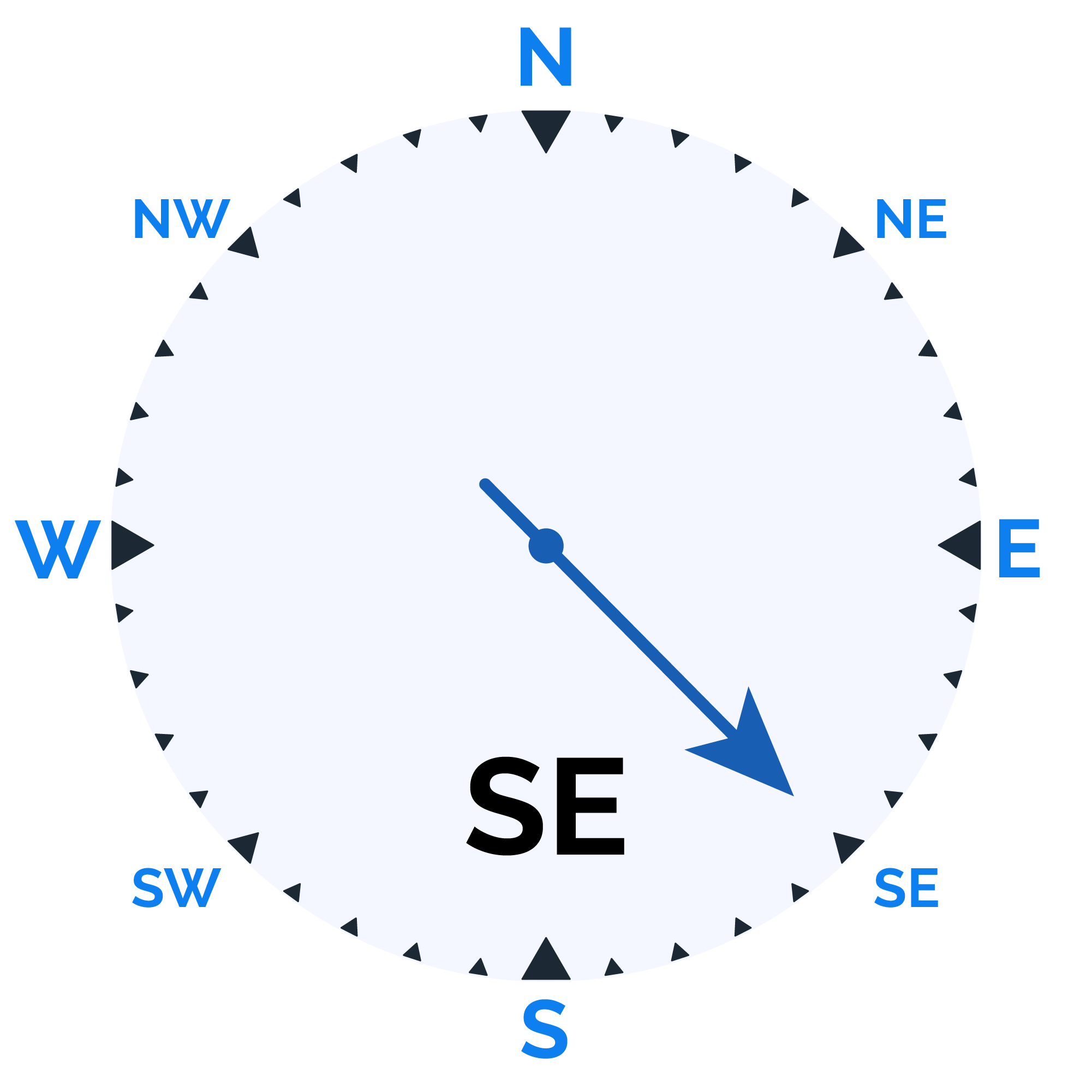
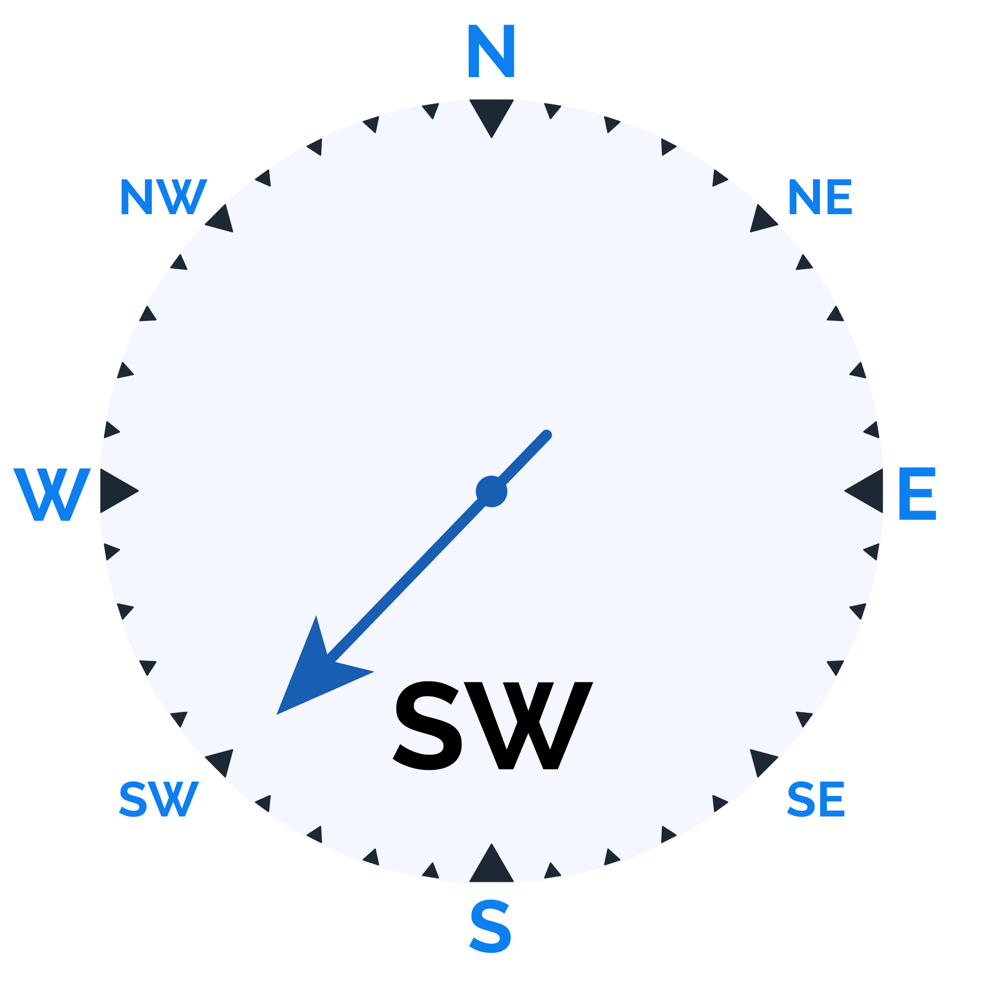
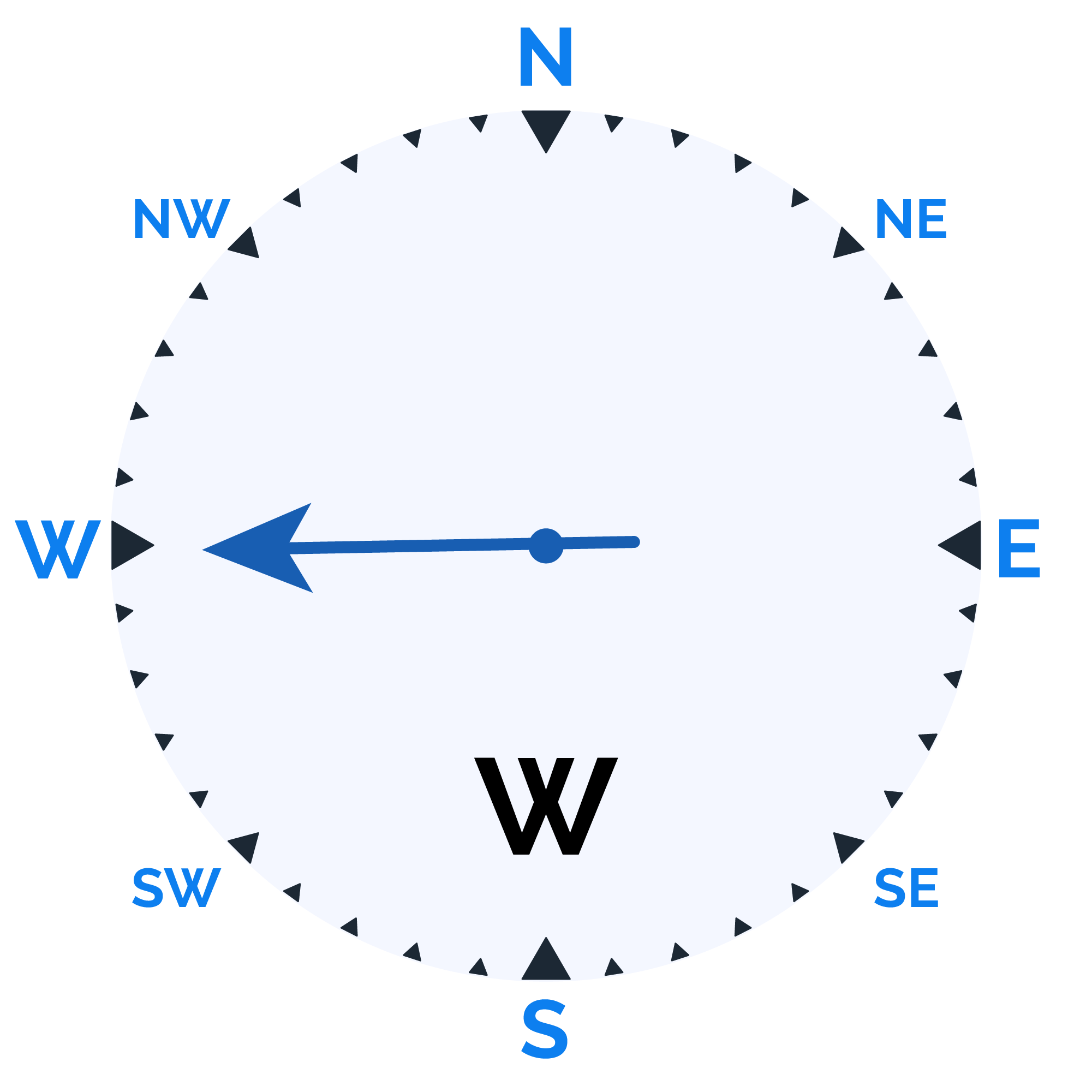
Today's weather will begin with a cloudy morning as temperatures range from 26°C to 36°C, accompanied by moderate humidity levels between 52% and 96%. The wind speed is expected at around 15.5 km/h. As the evening approaches, there will be light rain with precipitation reaching up to 7 mm, temperatures hovering from 32°C to 37°C, a slight decrease in humidity between 50% and 81%, and an increase in wind speed at approximately 17.3 km/h. The night will bring about dramatic weather changes with a thunderstrom expected under cloud cover of 3% and temperatures ranging from 25°C to 30°C, coupled with high humidity levels between 77% and 98%, and wind speeds up to 17.6 km/h.
 Temp (Min/Max)
PARTLY CLOUDY Humidity
86%
 Dew Point
25°C
Highly Humid
 Wind speed
17 km/h
Wind Speed