Dome Effect Causing Heat Wave Conditions: May Continue Till Weekend


Representational Image: AI-Skymet
Key Takeaways:
- Heat across central and northern India linked to Heat Dome effect, not seasonal progression
- Temperatures exceeding 45°C in parts of Uttar Pradesh and Maharashtra
- Stationary high-pressure system suppressing convection and trapping heat
- Prolonged hot conditions likely due to restricted vertical air movement
First half of April 2026 was mostly comfortable, with less than normal temperatures over North, West and Central parts of the country. There was fair amount of rain and thundershower activity over the northern and eastern parts of the country. However, the conditions have dried up now and heat has caught up with most parts. Heat wave conditions are prevailing over parts of Maharashtra, East Uttar Pradesh, East Madhya Pradesh, Chhattisgarh, Telangana and Delhi. These conditions are not part of the seasonal progression of heat and are rather triggered by the infamous ‘Dome Heat’ effect. The temperature has crossed 45°C over Banda, Prayagraj, Akola, Amraoti and Wardha. This is little unusual, as the extreme heat invariably starts with some parts of Odisha on the eastern side and interiors of Gujarat on the western flank. The reason for this variation is attributable to ‘Heat Dome’ effect.

Heat Dome is a weather phenomenon consisting of extreme heat that is caused when the atmosphere traps hot air, as if bounded by a cap or a lid. A heat dome occurs when an area of high pressure traps warm air over a region for an extended period of time. Heat domes happen when strong high pressure atmospheric conditions remain stationary for an unspecified amount of time, preventing convection and keeping hot air “trapped” within a region. Such upper air patterns are slow to move and are also termed as “Omega Block”.

Heat Domes are typically associated with minimal cloud cover and clear skies, which allow the unhindered penetration of solar radiation to the Earth’s surface, accentuating the overall temperatures. The high atmospheric pressure area acts like a lid on the atmosphere and causes warm air to be pushed downward, causing sinking motion of the air column, resulting in warming of the air parcel. Such a situation can hold for extended durations.

A high pressure is generated in the middle parts of the atmosphere due to presence of an anticyclone. An anticyclone is a wind pattern which rotates winds in a clockwise direction. It suppresses any vertical upward motion and retards convective activity, if any. One such feature is noticed over interior Maharashtra and adjoining Telangana and Madhya Pradesh. It is covering parts of North Interior Karnataka, as well. This anticyclone is marked over these parts, with minor oscillations, for the last almost one week. It is persisting between the heights of 10,000’ and 20,000’ in the atmosphere. This is what is pushing the higher temperatures over central parts of the country, with a spill over to the flanks, both on north and south.
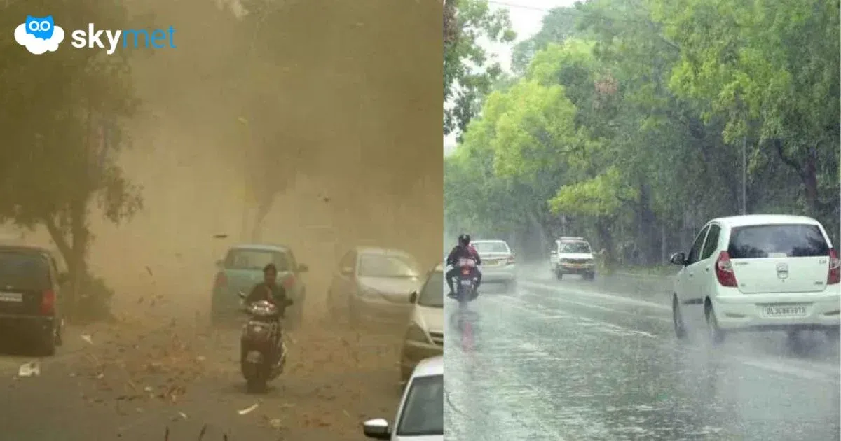
Heat on account of ‘Heat Dome’ needs to be differentiated from the normal ‘heat wave’ conditions, which are periods of excessively hot weather not necessarily caused by such stationary high pressure systems. Normal heat waves can be a result of multiple factors joining together and generally lasting for few days. The accumulated heat triggers convective activity and gets transferred up in the atmosphere with thunderstorm activity. Contrarily, the ‘Heat Dome’ restricts the vertical motion and deters any such move. Consequently, the hot conditions may persist for an undefined period over a large area. These sprawling zones of hot air result in a combination of blistering temperatures, drought conditions and devastating wildfires.