ENSO Status Change From Neutral To El Nino Advisory
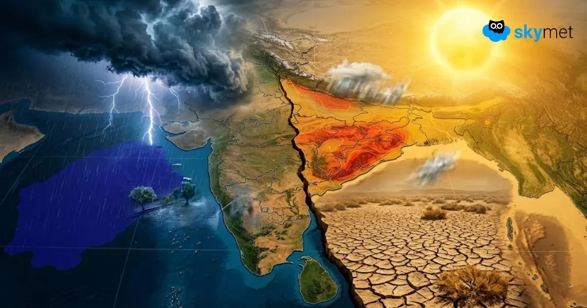
Weak Monsoon Takes Toll: Rain Deficit Climbs To Forty Per cent
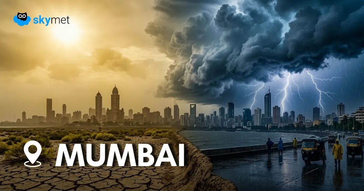
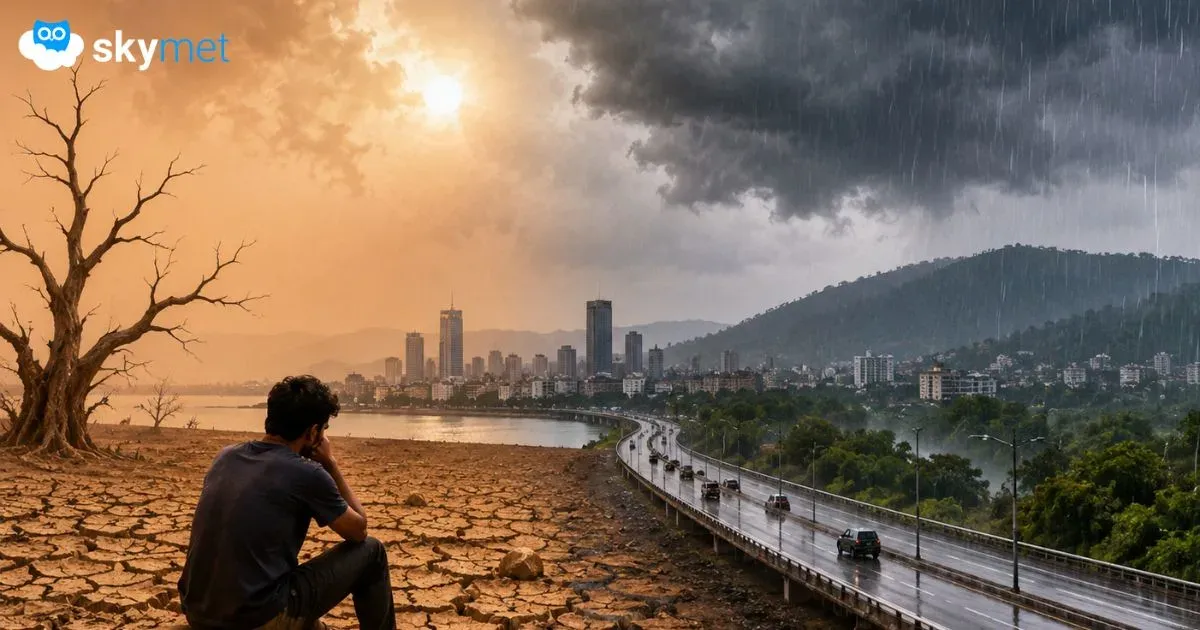
Desperate Wait For Monsoon Over Mumbai-Pune: Heavy Showers Unlikely For One Week
मुंबई और पुणे में कब बरसेगा मानसून? अगले 7 दिन भारी बारिश के आसार नहीं, बढ़ सकता है जल संकट