Monsoon Revival Likely: May Advance Over West Bengal, Bihar, Jharkhand Early Next Week

Monsoon stream has been stuck on either side for fairly long. The western arm at Mumbai and the eastern one over Sikkim-Sub Himalayan West Bengal await a push by the fresh monsoon systems over the Bay of Bengal (BoB).
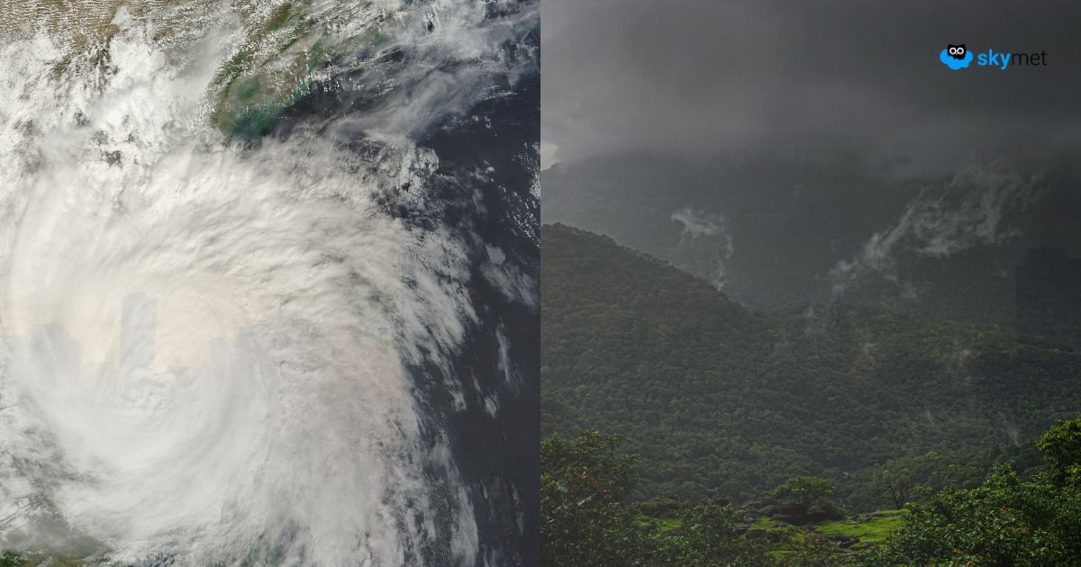
Two monsoon systems are likely in quick succession over the Bay of Bengal. Rains will revisit the areas where monsoon has already advanced, and also take a big leap over the eastern states of the country.
On the expected lines, a cyclonic circulation is likely to come up over West-Central BoB on 11th May, off the Andhra Pradesh coast. This system will move inland quickly and bring rains across coastal Andhra Pradesh, Rayalaseema and Karnataka. The heavy rains are likely to reach Konkan and Goa anytime around the weekend. Mumbai is likely to have the first monsoon burst of June between 14th and 16th June 2025.
In the meantime, another weather system is likely to form over North BoB, again as cyclonic circulation, on 14th June. This will track along Odisha, Jharkhand, Chhattisgarh, Madhya Pradesh and Maharashtra. Under the influence of this system, the monsoon is likely to advance, covering left over parts of West Bengal and reach state of Bihar, Jharkhand and Chhattisgarh. Moving further westward, the heavy rainfall belt will shift to Maharashtra and Madhya Pradesh. Mumbai will have another round of monsoon fury, past mid-week next.
Courtesy, these two weather systems, the monsoon will revive over those parts where it went nearly silent after the robust onset. Also, the northern limit will advance along the West Coast to cover parts of Gujarat, reach left over region of Maharashtra, intrude large areas of Chhattisgarh, Bihar, Jharkhand, East Madhya Pradesh and make initial advances over East Uttar Pradesh. Heat wave will also abate from the northern parts during this period.
