Rain and Thundershowers Expected in Delhi Today, Tomorrow, and the Day After; Hot and Windy Weekend Ahead


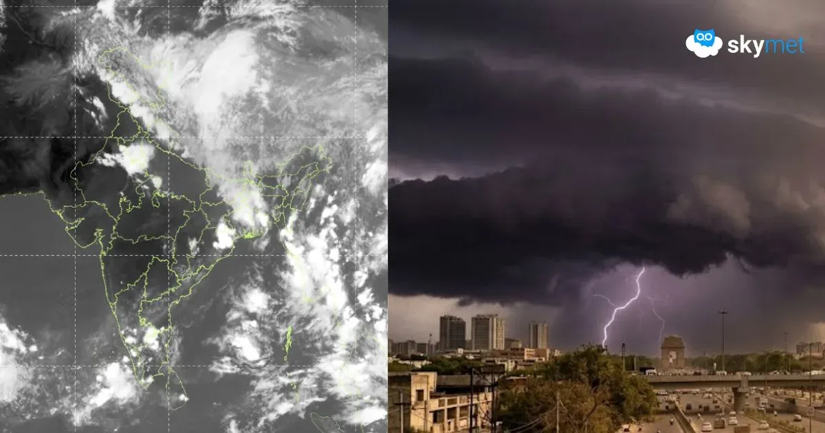
Capital city Delhi skipped any significant weather activity yesterday. Weather buildup was there briefly in the late afternoon over Delhi/NCR but fizzled out. Parts of Rajasthan, Haryana, and West Uttar Pradesh, in the proximity of Delhi, did receive a few spells of pre-monsoon activity.
Base station Safdarjung recorded a maximum temperature of 36.1°C, about 4°C below normal. Similar temperatures are likely today as well. Typical pre-monsoon activity is also likely for three days, more effectively today and tomorrow, during late hours in the night.
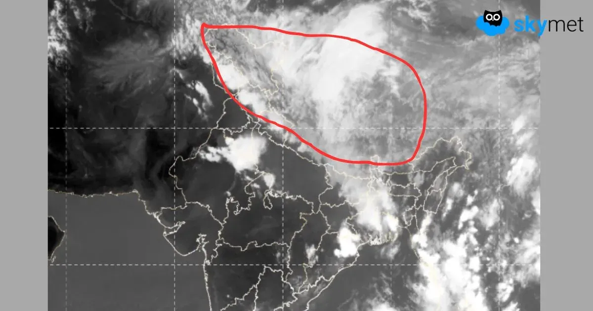
There is hardly any change in the synoptic conditions. The western disturbance persists over the mountains. Cyclonic circulation was also marked over Punjab and border areas of Rajasthan and central Pakistan. An east-west trough from the system runs in close vicinity to Delhi. Weather activity will cover plains of North India, including Delhi, on the first two days. It will shrink and get mild too on the third day and get confined to Delhi and adjacent parts of Rajasthan.
Weather activity will mostly occur in the late evening or night hours and extend till the wee hours of the next day. Squally winds kicking up dust may precede the rain-thundershower activity. Nights are likely to be pleasant. Even day temperatures will drop below normal and hang around 36°–38°C during this period.

Following the cessation of weather activity, the temperatures will rise from Friday onwards. It may touch 40°C on the weekend. However, surface and low-level winds are likely to be strong between the 6th and 9th of June. This may mitigate the heat stress marginally. A heat wave is unlikely over Delhi during the first half of June.