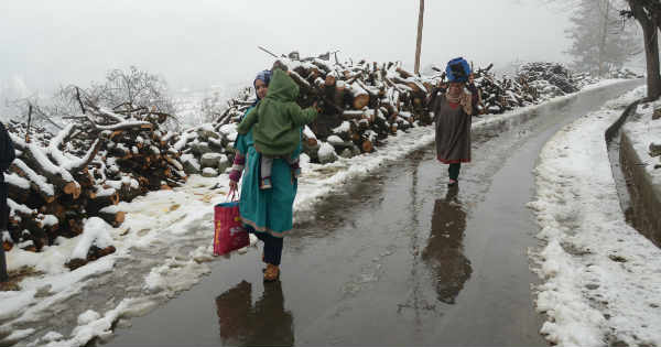
Since the last 48 hours, light rain and thundershower activities have been affecting parts of Jammu and Kashmir and Himachal Pradesh, along with isolated pockets of Uttarakhand. In the last 24 hours from 08:30 am on Saturday, Gulmarg recorded 9 mm of rain, followed by Banihal 6 mm, Srinagar 5 mm and Qazi Gund 2 mm.
Due to these rainfall activities, day temperatures have dropped significantly over most places in Jammu and Kashmir along with few places of Himachal Pradesh. Meanwhile, in Uttarakhand no major change in temperature pattern has been observed.
At present, the Western Disturbance as an upper air cyclonic circulation lies over parts of North Pakistan and adjoining Jammu and Kashmir, which is moving east/northeastwards. Under the influence of this weather system, clouding will persist over the Western Himalayas during the next 24 hours.
However, light rain and thundershowers will occur over few parts of all three hilly states of North India. Day temperatures will increase slightly, while night temperatures will not change as another Western Disturbance is approaching in quick succession.
On April 16 and 17, rain and thundershower activities with strong winds will be occurring over Jammu and Kashmir, Himachal Pradesh and Uttarakhand. Places like Pahalgam, Srinagar, Kukernag, Banihal, Qazi Gund, Kullu, Manali, Lahaul & Spiti, Shimla, Dharamshala, Nainital, Chamoli and Pithoragarh will get effected.
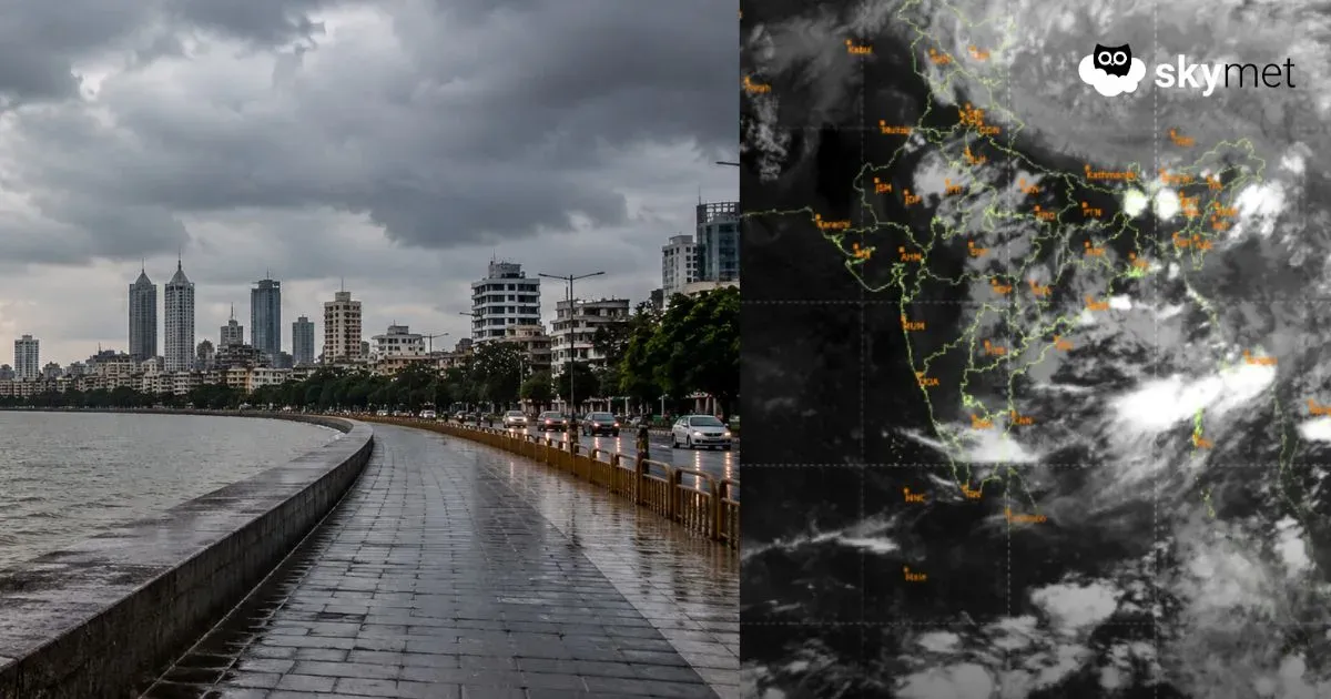
Image Credit: Pinterest
Please Note: Any information picked from here must be attributed to skymetweather.com