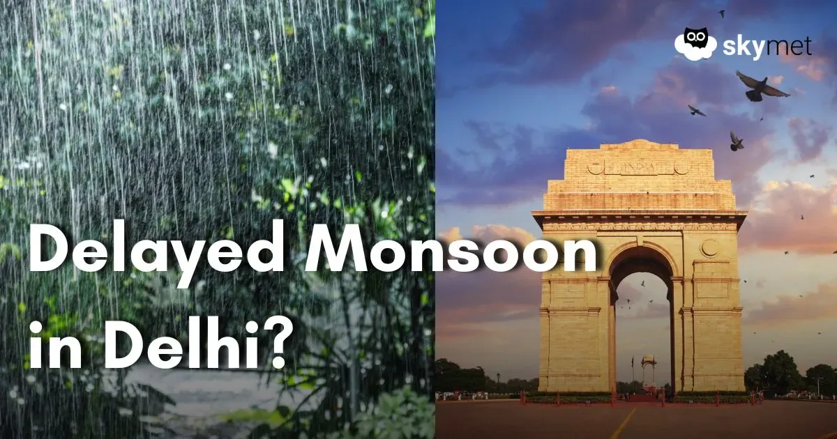
Delayed Arrival of Monsoon For Delhi Likely: Thunderstorm-Dust Storm Till Weekend
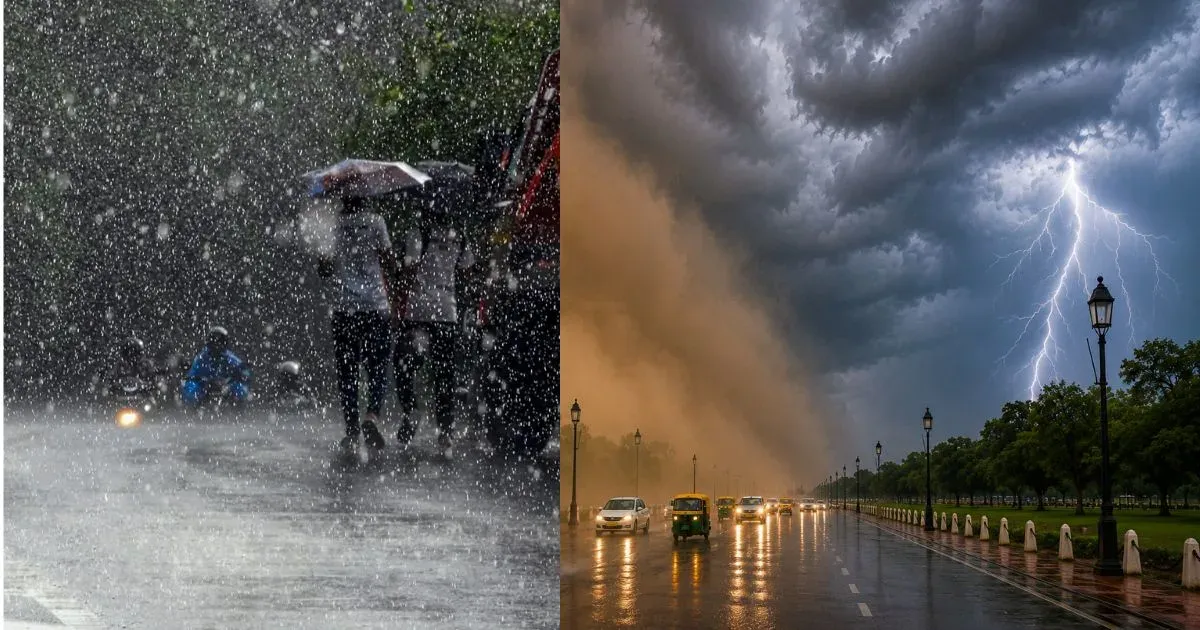
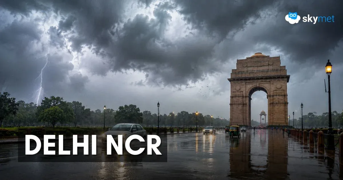
दिल्ली-एनसीआर में अगले 4 दिन आँधी और बारिश का अलर्ट, तापमान 40°C से नीचे ही रहेगा, जानें पूरा मौसम अपडेट
Rain-Thunderstorm For Delhi Next Four Days: Under Forty Degrees Temperature To Continue
[Hindi] सम्पूर्ण भारत का 17 जून, 2026 का मौसम पूर्वानुमान