
°C
Current temperature
5:30 AM, Jan 01, 1970Hourly
7 Days
15 Days

Weather buddy
Over the next 15 days, we can expect a general increase in temperature after about one day. Starting from May 24th, temperatures will reach highs of up to 46°C and lows around 30-36°C. The entire period is characterized by warm weather with occasional cloud cover, but there won't be any significant rainfall. Notably, we are entering a heat wave from May 24th to 29th where temperatures will consistently hit at least 45°C daily. This severe heat wave period also begins on the 24th and lasts until the 29th. During this time, it's crucial to stay hydrated and avoid outdoor activities during peak sunlight hours. The weather will see a break from these hot temperatures after May 31st as we transition into June, with average temperatures dropping slightly below previous highs. The cloud cover increases by the end of May, leading to some light rainfall on the first day of June.







Rainfall probability

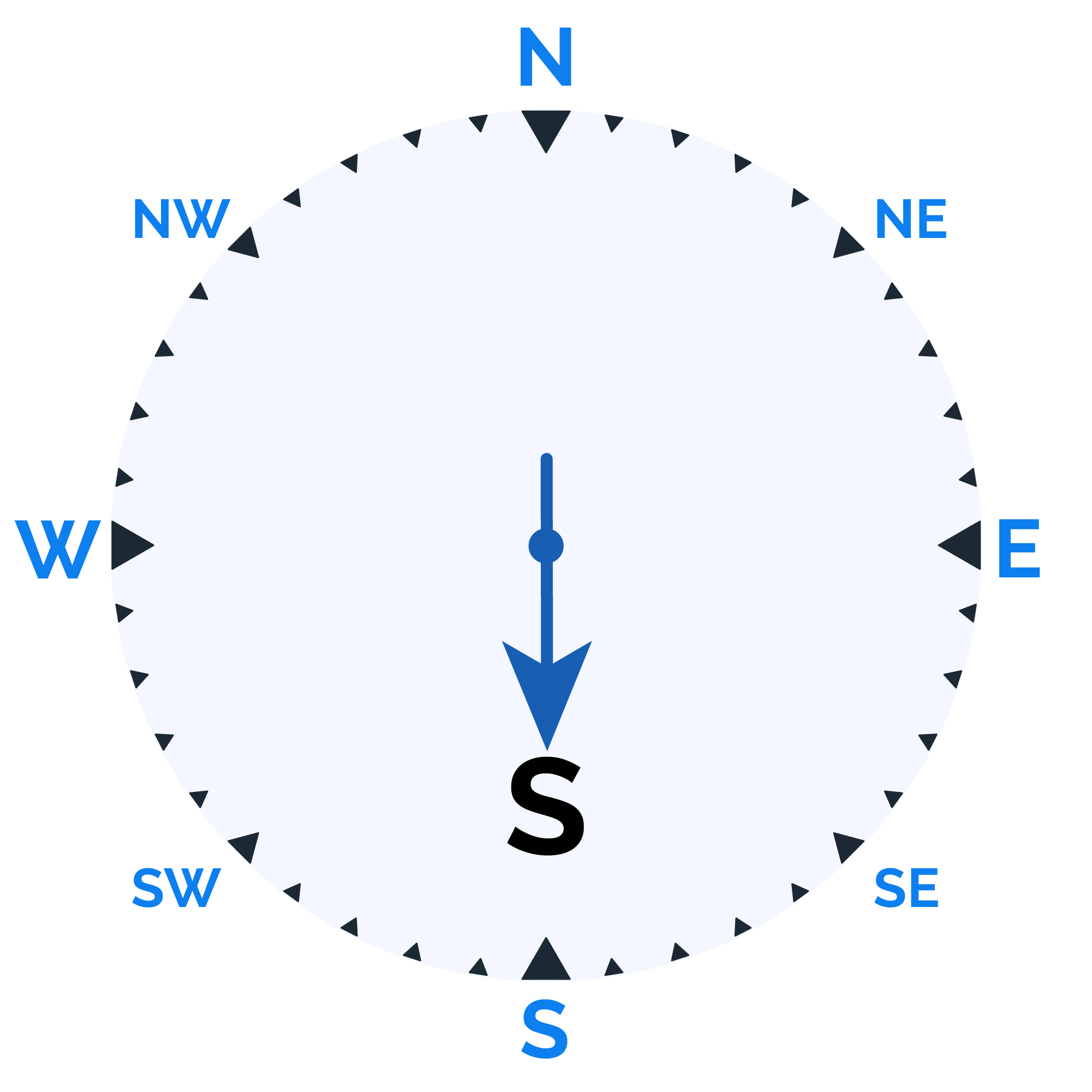
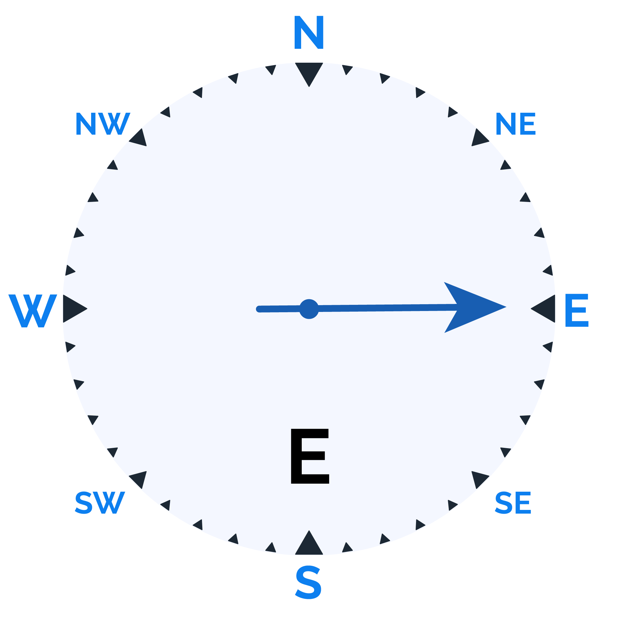
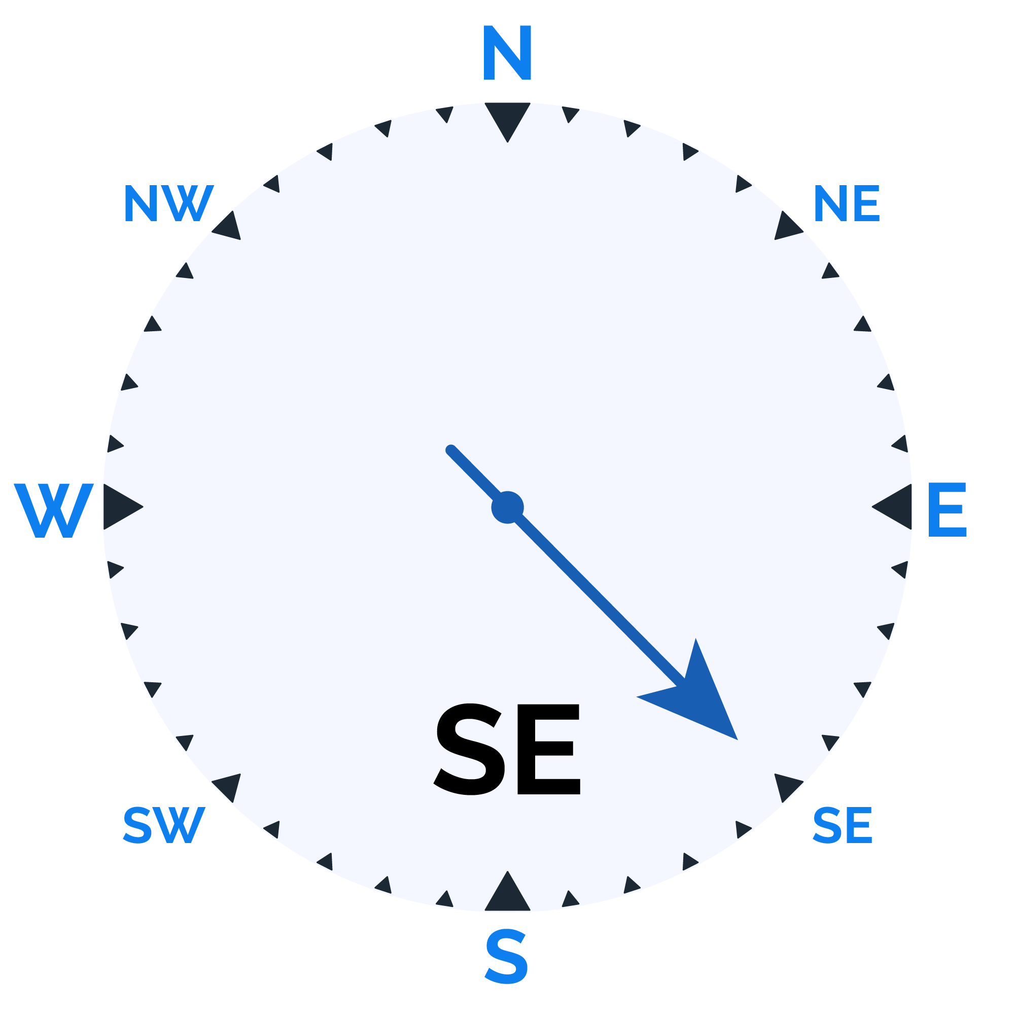
Wind speed

Humidity

Sunrise/Sunset


Moonrise/Moonset




Weather buddy
Today's weather is expected to start off with a sunnier morning, as temperatures range from 29.0°C to 40.0°C and humidity levels will vary between 39% and 75%. The skies will remain clear throughout the day with no rainfall in sight. Wind speeds are anticipated around 23.2 km/h, offering a refreshing breeze amidst the high temperatures. As we move towards the evening, temperatures continue to rise, peaking between 42.0°C and 44.0°C, with humidity slightly decreasing from morning levels. The conditions will remain hot throughout the night, despite a slight increase in wind speed up to 23.5 km/h and minimal cloud cover at just 2%. Overall, it's going to be another scorching day, so stay hydrated!
 Temp (Min/Max)
Clear Sky Humidity
70%
 Dew Point
24°C
Highly Humid
 Wind speed
32 km/h
Wind Speed


